June 19, 2011 McCook Nebraska Supercell
If you want a cool effect on the wild night supercell images below, I suggest playing Exogenesis Symphony Pt 1: Overture by Muse. Hell it's a cool effect as it is for a song, no need for cool storm images lol. But it's kinda cool. If the storm could pick a song to have playing for it, it would pick that song.
I've chased long enough now to know bad luck, as well as pretty bad pattern to go with it, won't last forever. I also realize a good deal of my chase years, the better stuff hasn't shown up till later in the year. But June 19 is getting at least fairly late. Summer and fall can go either way and happen on less than obvious days when it goes well. To this point, I was solidly working on my least favorite chase season. Seriously, one great mammatus display to show for the year, other than a whole lot of hail video. It's really not a good feeling for a chaser and the poor year in the plains isn't much support. I mean you don't feel much better just because the season has largely sucked(in the plains). Though yeah it's worse to see nothing with a lot going on too.
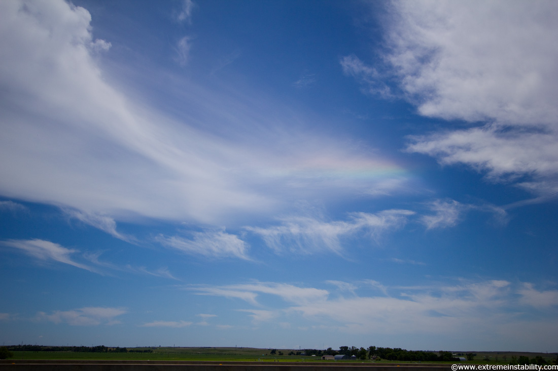
I knew these two days ahead, June 19th and 20th, had a good deal of potential, but even if they panned out, would I be there at the right time is always a big ass question mark. Sometimes you really get it in your head you can do no right. But you know that doesn't last forever. Repeatedly before this chase day and on the way out there, I would think to myself, what will I have witnessed and "taken home" come Monday night on the 20th, after they are both over. I at least, really never think much about that ahead of time. But over and over and over I kept thinking that before these two, because it starts to feel as if you damn well better do right and see something. Pretty silly to drive thousands of miles around the alley over and over not to. I don't drive all over for this or that storm, I want some prizes for the effort, knowing those don't come along often. And knowing a whole lot of the times they do, I am screwing up. So anyway, more than once I thought to myself, these two days are do or die days. Felt that way more than any point in chasing before. Perhaps this rainbow colored circumhorizon arc near North Platte on the way there was a sign of changes ahead lol. It's pretty messed up to me the things that would be seen in roughly the following 24 hours. What would be my most amazing night supercell and then the next day what would at least be my best tornado still photographs I've taken(which has never been much to begin with). A lot has to go right but this shouldn't be so hard after a whole lotta going wrong. Most will never get how much I really do screw up, because it doesn't contain any images to go on here. Still learning a lot 13 years in.
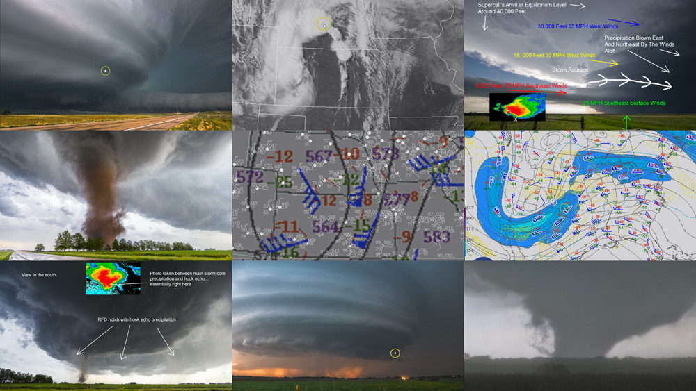
One thing I have no interest in, is chasing high plains with lower dew points. Exceptions happen, but more often than not, with lower dews high plains produces crap storms as well as points east with similar lower dews. Mid-50 dews at best in June on the high plains and I'm going to hopefully not be there. Earlier in the year(or cooler aloft setups) and I may be more interested. I've grown a distaste for bothering. Give me dews. And yeah even here is getting to be higher plains. I get to North Platte and just feeling the air outside the car with your arm made you want to get out of it. Surface obs showed 66 dew at Lexington and Holdredge with upper 50s at North Platte. You could tell the western edge of the better air was between the two somewhere. You could see the warm front on Goodland radar on the NE/KS border. My target was now there, where the western edge of the better dews were reaching west along the front. With the setup you had hot 700mb temps going to nose north, not far east of there, capping things. Seemed likely you'd get the storms well east on east side of that and then others back here a bit west of it. That is what eventually happened. Meanwhile you had to sit there and wait, as storms formed off the higher terrain in Colorado, one tornado warned early. I often have a hard time sitting and having patience, but not with high plains lol. I'll head on west only if it looks like some better dews are out there. It all becomes relative with elevation, but still.
I went south and sat at Maywood NE forever. Eventually storms began to fire to the sw on that front. Soon you had 2 supercells, one further sw and the lead one still west of highway 83 a long ways, nw of McCook. This became really annoying. Inflow was due east pretty strong. More often than not, the lead supercell will be the one to be on(as one behind is fed its rain cooled air on those easterly winds), but in this case there was enough n-s difference both could be good for a while. But the lead one was way out there with no good roads off 83. The west one soon looked damn good on radar and tornado warned. I made a brief attempt for it(it was a good ways away) and then flipped back around to drive clear back to where I first was, north of McCook 8 miles or something. I missed a tornado on the western one(well I guess I can say I saw one of them but not much view from a billion miles east) but I didn't care, as the east one starts to go nuts right as it is crossing highway 83 and I was back there now.
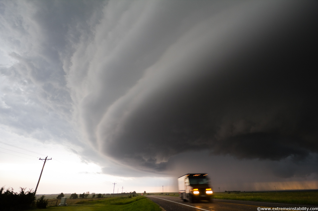
It was changing rapidly as it approached 83. Looked like it was going to plant a tornado. I thought I'd have to jet north into the core shortly if I lost visual. I had started to dive south too late and flipped back around, wasn't interested in driving under what was moving over the highway and knew I wasn't going to beat the rfd wrap precip down there. The view barely north of the track actually stayed good enough I could see the whole time it was crossing. UPS truck here heading north into the hail core lol. Turn around, don't drown Mr UPS! It's hailing on us here actually, can see the stones on the highway.
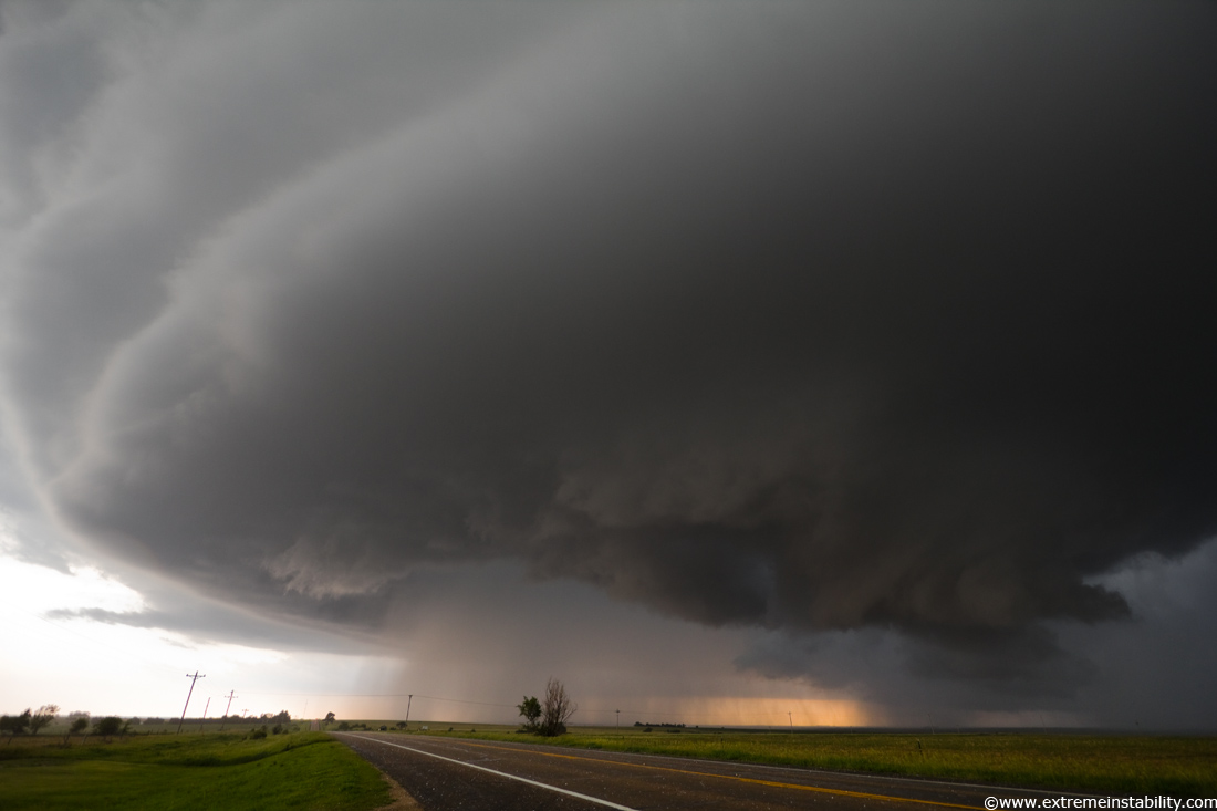
A rather pregnant base crossing 83. How to chase it now was the question, thanks to no roads east. I dropped south figuring I can at least get the sw one now moving east behind this. But it didn't look overly great.
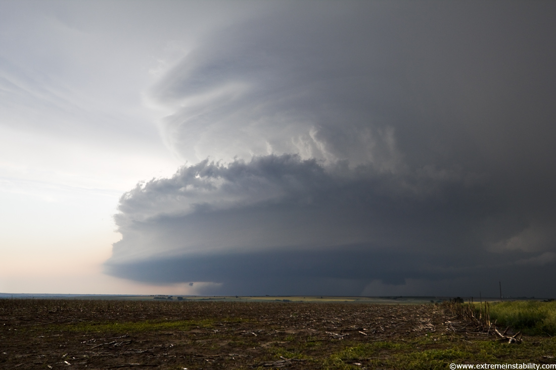
Driving east of McCook the southwest one took on some beautiful structure.
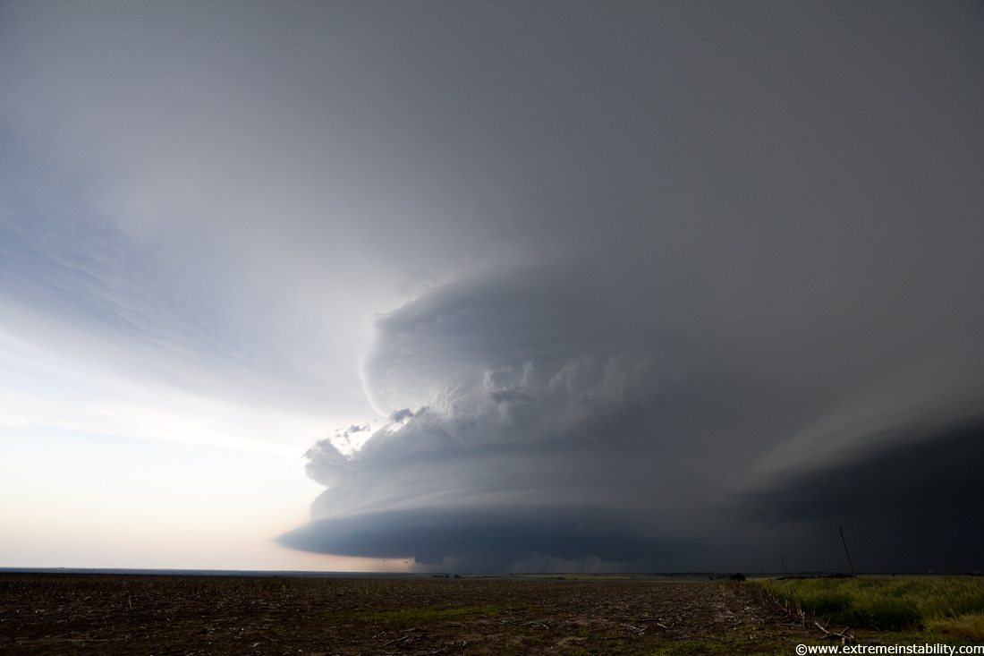
The really annoying problem now was the shelf plowing south off the lead one I was on earlier(right side of image). The sw structure was heading into soon to be crazy realms. You think to yourself, noooooooooooooo, a messy big line and shelf is about to ensue. This would seriously be the case 99 times out of 100 when two big supercells merge, especially when one already has a big ol bowing shelf with it.
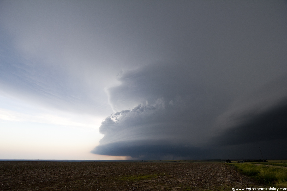
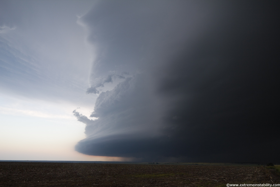
Shelf arriving, cool supercell show over! Or not.
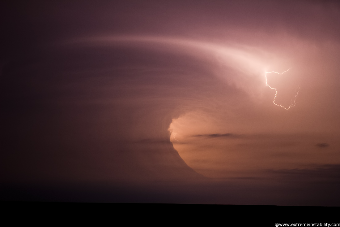
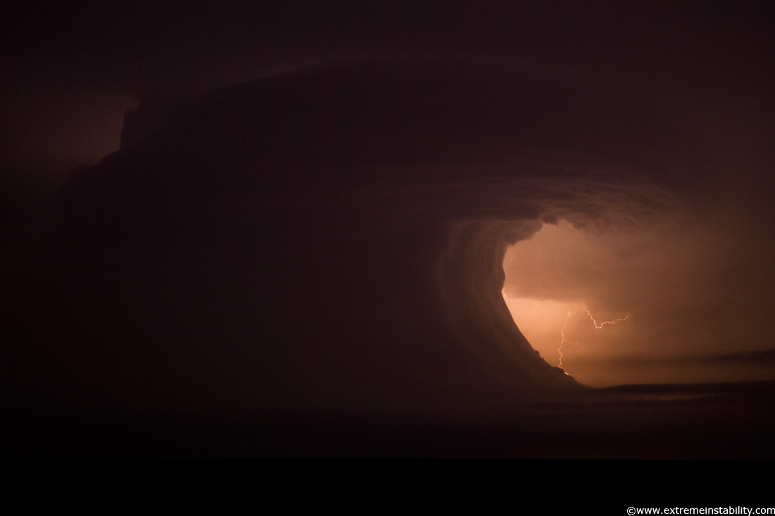
What the hell!!! Before this point I'd met up with Steve Peterson and JB Dixon. We were driving east ahead of it and you could tell on radar it was trying to turn into one supercell somehow. This was crazy because there was a serious bow plowing off the lead one, ahead of the sw one, well on it. We had little view though thanks to some clouds. We then get a view that looked good so we pull over, only to rapidly lose the view in clouds again. I'm pretty sure we did this again several miles later. We kept going east making sure to take occasional glances back and see if it was showing itself again. Then while talking with Tyler Burg on the phone he says how you can see it again and it was sweet. I look out and this above was now showing again. I sat here just east of Alma NE and had my mind blown for 40 straight minutes, 10:35 to 11:15 before I had to even move again. It was still mind blowing through midnight.
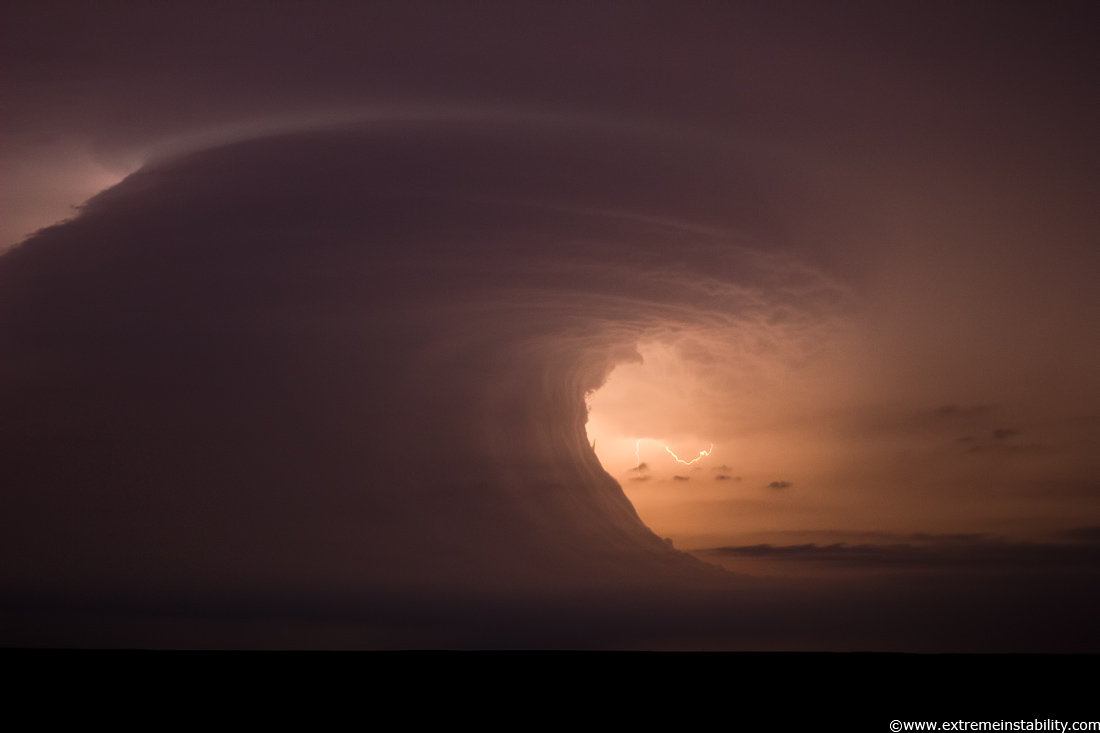
Like a big wave, a tsunami in the sky.
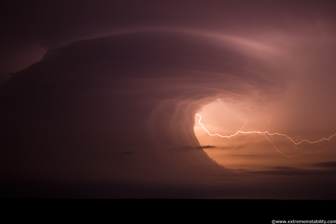
The vertical wave wall was just crazy, but then you also had that really funky curling wall/base up there. It's like a backwards inflow band(not literally). Often you'll see a mid-level band going the other way, from away from the storm to the south(left) and then going into the storm around the northeast side. This was backwards. But really what that would be(I think) is more or less the "elevated base" to the real convection above. All the rfd and cool sinking action would be behind that, which was plowing forward and helping lift the stabilizing lower levels..making that wild wall/wave. Maybe like if an elevated storm had a big wall cloud lol. Named items for storm features only do so much as you'll always have this wide range of "in between" structures.
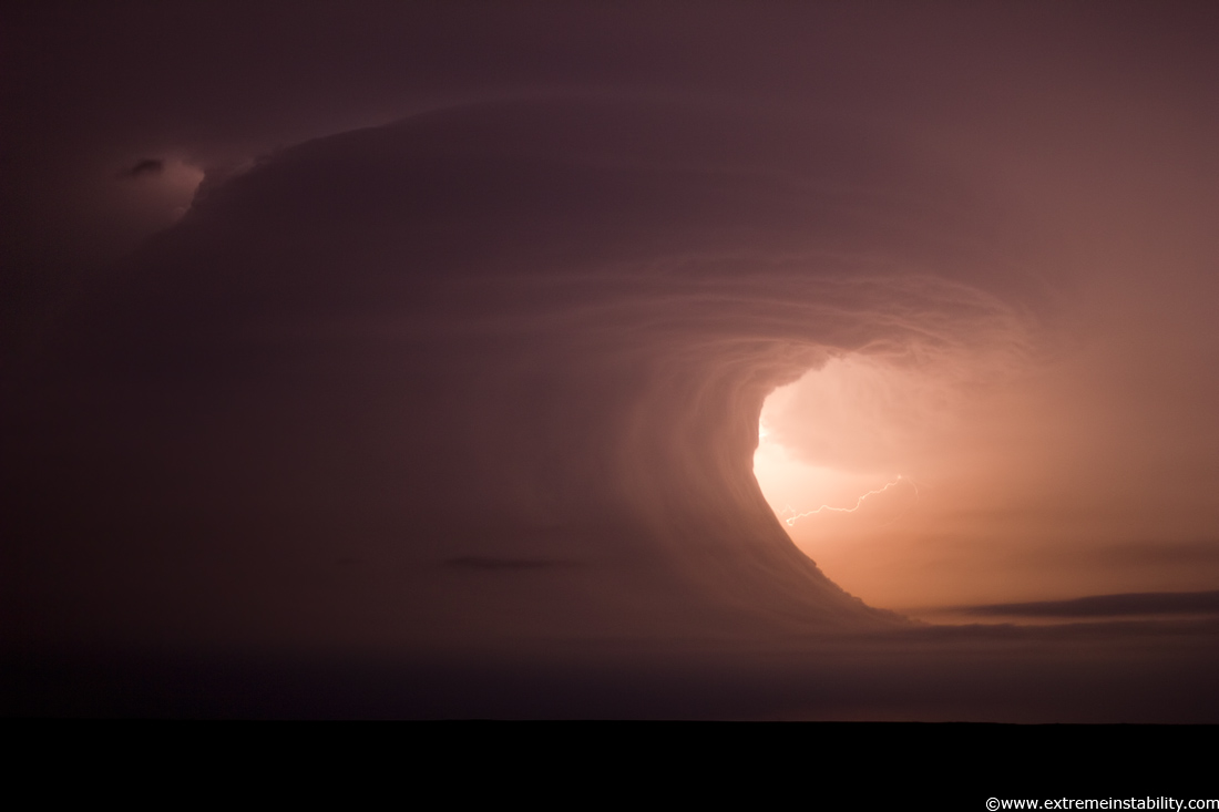
I have enough stills of this, generally from a same position tripod, to make a cool timelapse. Guessing a crazy cool time lapse actually. I now wish I had left it alone the whole time. But it is at least enough so to make one.
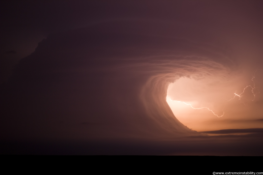
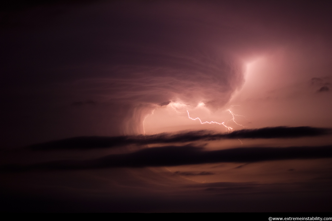
Here come some cloud street roll clouds to add to the scene.
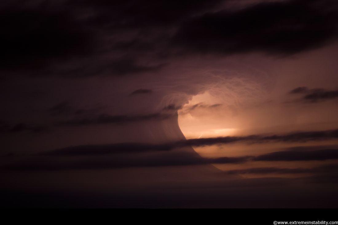
These things looked to be hauling serious ass. The above shutter was 3 seconds for instance.
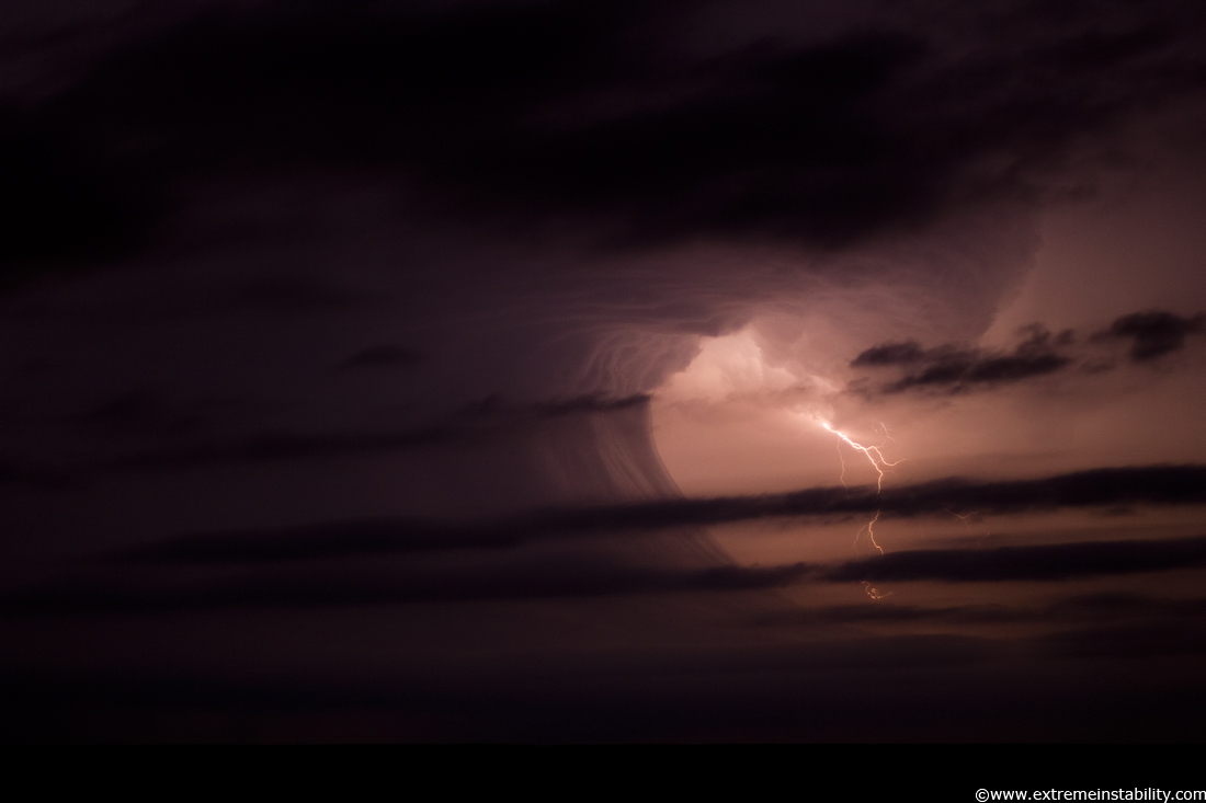
Sorta like mother nature's blinds, partially open. See me, she says.
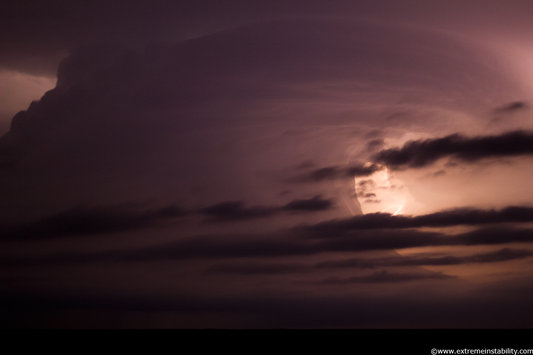
That curved deal aloft with the storm, it wasn't like that was a temporary feature, that wanted to stay there.
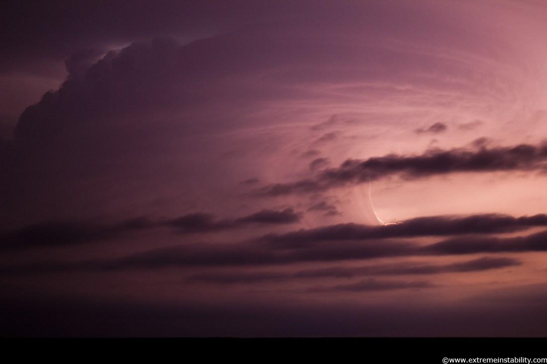
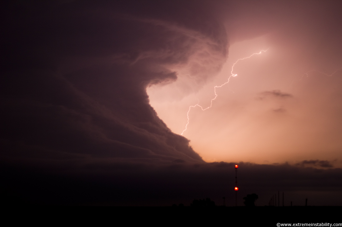
Now due north of me, same spot. There were several times you could make out this at least pseudo funnel up there(up and left pointing down). Tyler later asked me if I saw the one so he saw them too. Some were clearly funnels forming as they went around that corner up there.
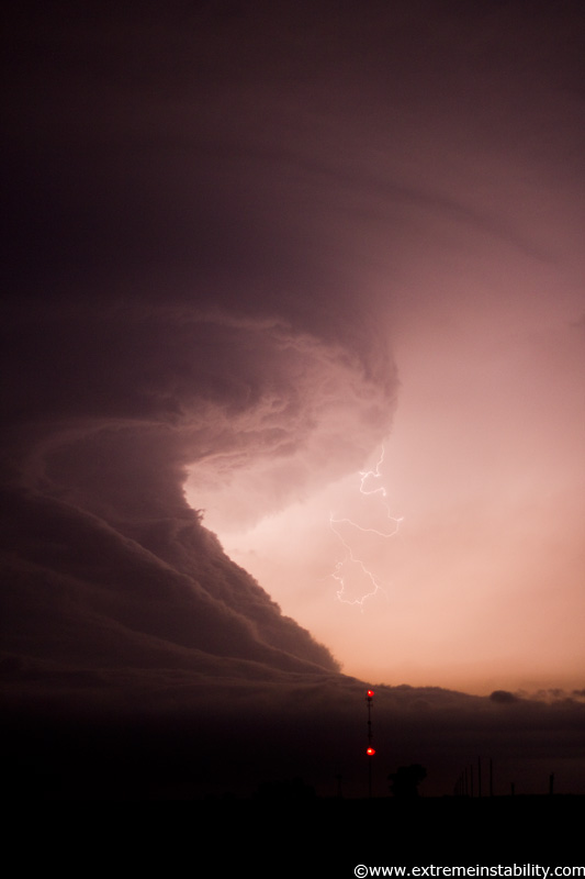
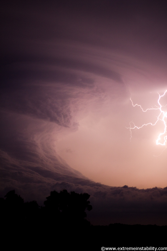
Pretty sure this was now north of Franklin NE, 11:45 pm. Now shooting there with Tyler, Evan and Chris.
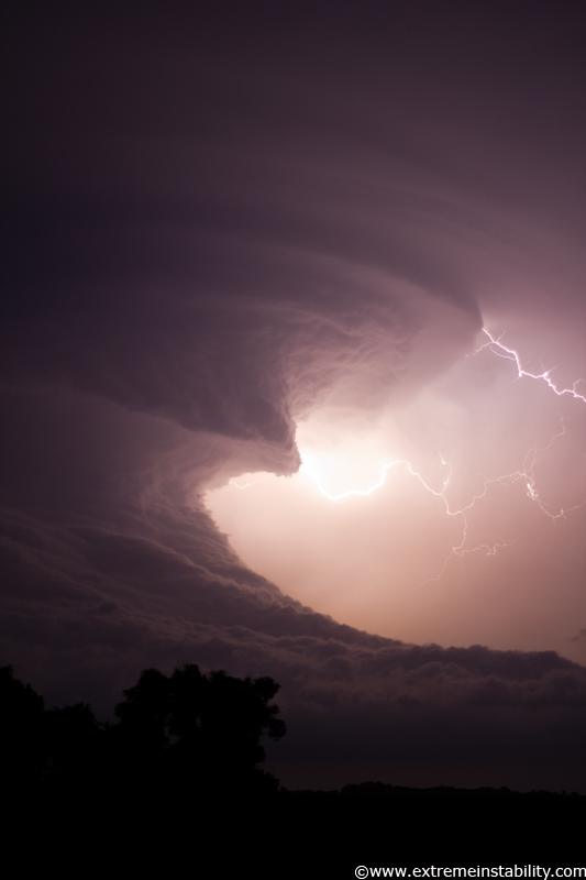
Still being an other-worldly sight. You really half felt, this thing is on the wrong planet right now.
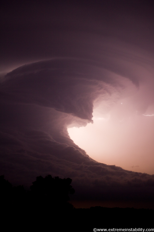
It was starting to remind me of the Aurora supercell June 17, 2009 as it tried to die. Also with that one was this amazingly long drawn out process of going downhill. Like it establishes its own vortex that doesn't want to stop sucking up the stable layer below.
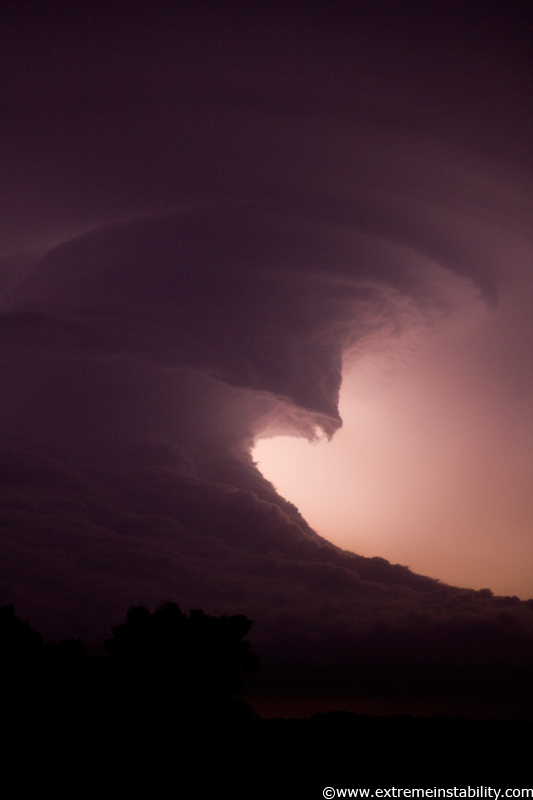
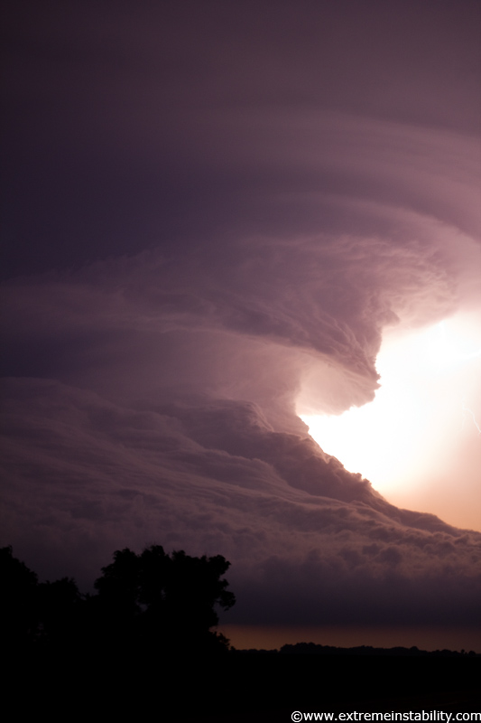
This I can tell will be cool on time lapse. It's like if you swing your arm through water, rising up a wave ahead of it. You can see that lifting as the upper portions plow forward.
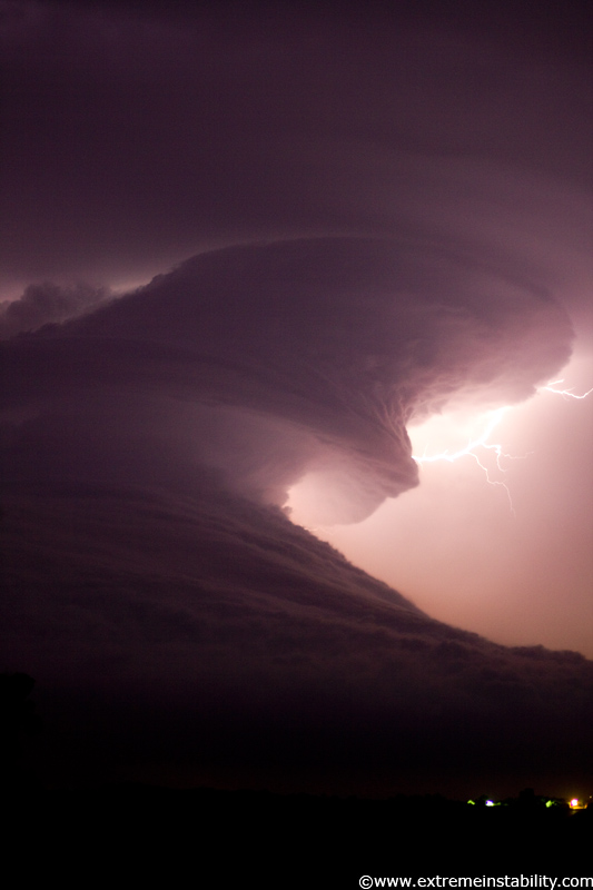
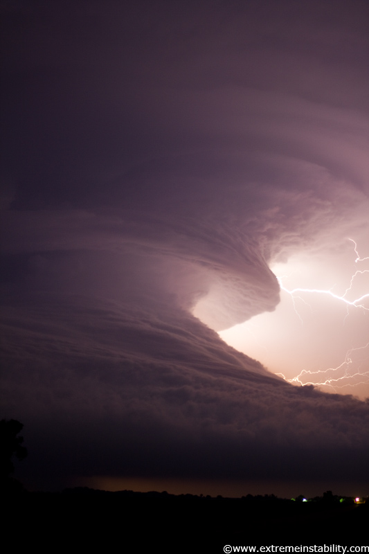
Even now nearing midnight it still had a long way to go before it was gone all together. And the whole time, even as it was tiny on radar, it had a nice hook. Probably since it was getting real close to the Hastings radar then.
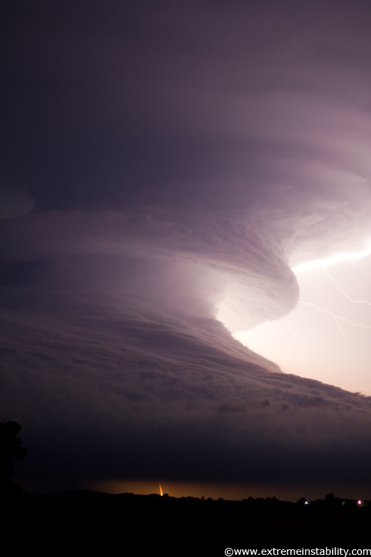
One of an extreme few cloud to ground bolts. After the chase ended I did one of the dumber things to have done. I drove back home instead of just getting a room in Hastings or somewhere. Driving home from Red Cloud at 12:30 in the morning isn't fun. Got home right around 4:00. Then tried to grab some fashion of sleep but getting up early enough to head back west and wind up not overly far from where this chase ended. Spent at least the same amount as a motel room in gas. So dumb.
Wild tornado intercept the very next day is up here: http://stormandsky.com/2011-6-20.html
I will very likely be making a time lapse from the stills and putting that here...maybe...for sure on the yearly DVD given I make one this year.
