April 15, 2006 Beatrice NE Tornadic Supercell
Looking sw at a tornadic supercell near Beatrice. I'm sw of Sterling a few miles.
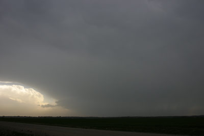
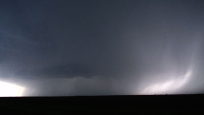
I decided to let this storm move at me instead of using the gravel to go south. I figured it had time yet to get going(since this was the strategy of the year so far with these fast movers). I saw a big lowering briefly before it wrapped in rain(or had rain falling ne of it).
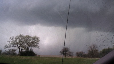
The rain quickly blocked my view again. Not long after it did so the precip north of the updraft started to clear out from east to west. This opened up the view of this impressive barrel of a supercell. This was one of the more perfectly rounded storms I've seen. I was at this spot long before the tornado was produced and it really sort of pisses me off I didn't drop south for a better view. Had I had pavement right there I probably would have. Oh well.
Now according to the national weather service survey this storm produced that tornado for 34 miles and would still be doing so now. Judging by the images I've see and thoughts of others the big lowering north of the tornado likely formed right as the first roped out in the rain. Some have noted dirt racing nw towards some object back in there. I contrasted some images and seem to be able to see this line of dirt going nw back in there.
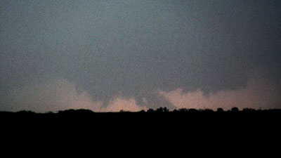
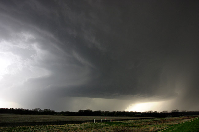
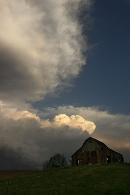
It gets closer and I decide to go east to Sterling to head north on what I assumed was pavement. I take the following still before I get to Sterling looking back sw at this amazing storm. Supposedly there is a tornado back in there. There is ragged scud or something left of the sunlight back in there.
I get to Sterling and blast north. The road to the town of Douglas was not paved and it was getting worse as I went north. Also the east options on my gps were never there! I'd get to them and be like, that's not a road@! The storm was closing in on me from the sw and I was starting to get into precip. It's not wise to use gravel roads in this area with precip around. I started to lose some of the better gravel I had and quickly slammed on the breaks. This was about 1.5 miles south of what looked like a real option east on the gps. Right as I did this a truck was coming south and he was flashing his lights at me. I'm wondering if he could see something I couldn't. I had not been able to get any good views to my west as I was going north, tt was just too hilly.
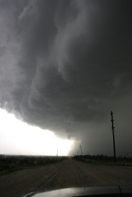
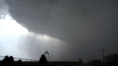
So here I'm heading back south. This very round and wrapped up
supercell(which still has a tornado according to the damage survey) was
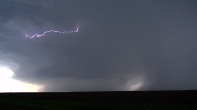
about to much me and cut me off. The big image below was as I was turing
around, looking west. Notice there is a stupid hill in my way.
I'm flying south here, hoping to beat the heavy precip to the e-w highway I was on. I looked west into there best I could but was really trying to concentrate on getting back out of there very quickly.
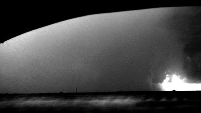
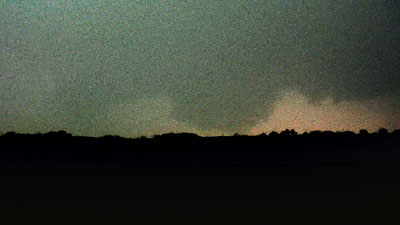
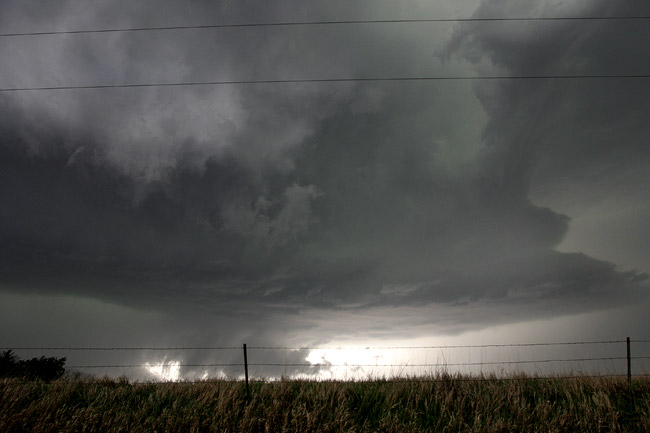
This image is due west of Sterling. The damage survey had the tornado lifting 3 north of Sterlilng. I'm not sure what that is but it is back in the area a tornado would be. The image is contrasted as there was a lot of rain in there.
I'm looking south now at pretty much the same time as the above image. Note the curling gust front above with the storm. The rain wrapping around and to the east was moving about as quick as I've ever seen rain bands move. I was glad I was now a couple blocks from my highway to get east.

Just a few moments after the above image. You could see rain flying across the road. The image below is just a couple seconds later.
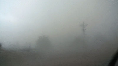
You can see how fast the visibility goes as the same power pole and tree are in this capture.
I slowly drove down towards St. Joe to intercept the other big storm of the day. I viewed it to the west near Oregon MO and it too was very wrapped up. I never saw much from it and headed home. There was a nice mammatus display behind the storms so I stopped for some stills. Something is very wrong with my camera as I'm getting some horrible color casts in certain lighting situations. So, I'd put them on here but they just aren't very representative.
All in all a rather dissapointing example of chasing. I'm mad at myself for not dropping south when I had plenty of time to do so. I guess had it waited to do the main show I'd be mad I did drop south and couldn't get back with it. I can't wait for slower storm motions where this is not a problem at all.


