August 16, 2002 Crofton Nebraska Supercell
This was a very nice chase for any time of the year, let alone August. I woke up and started looking at the ruc, thinking I'd have plenty of time to go back to sleep for a bit...wrong. The warm front was already getting restless west of here. The soft ball hail report at 9:13 a.m. in Platte county got my attention. While online I got a call from Piotroswki saying he was just entering se NE and that he was quite excited. Most everyone this day liked the Mitchell area for a starting point. This was looking like one hell of an intense system, with insane low level shear and decent cape to go along with it. Trouble would be, could we get deep enough moisture back up here in time and get something surface based. This account starts off after noon near Onawa Iowa.
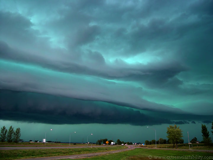
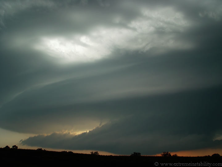
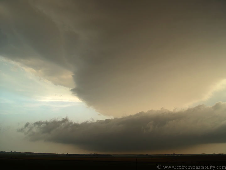
Rest stop south of Onawa IA looking nnw. There was a bit of a beaver tail stretching east at the northern end of the shelf. The motion between the lower shelf and the upper one were really cool. The upper one was ripping into the storm as the lower just below it was racing outward. The battle was pretty fun to watch.
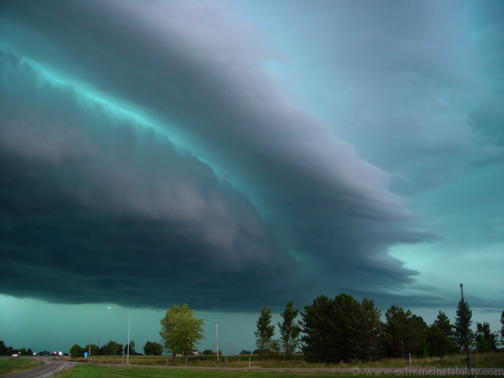
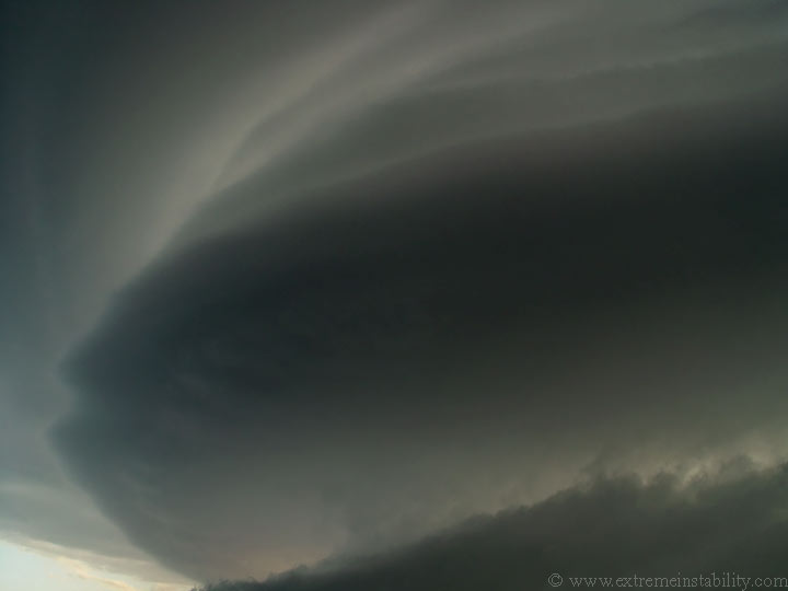
These first two are stills off the Sony DSC F707.
I screw up the start stop on my vid cam again%!#%#$#. I recorded my lap and did not record the storm for about 20 minutes. So much for the cool part of this storm.
Now I head north and meet up with Scott Weberpal and Mike Peregrine at the Radison in Sioux Falls. I keep in contact with Jeff P who is now near Mitchell, just sort of waiting. We give him updated data and he gives us some visual on the warm front/boundary. The spot south of Mitchel finally starts to go.
Man was this stuff up north ELEVATED. This is looking se near Tyndall SD. I'm just about ready to try and get south.
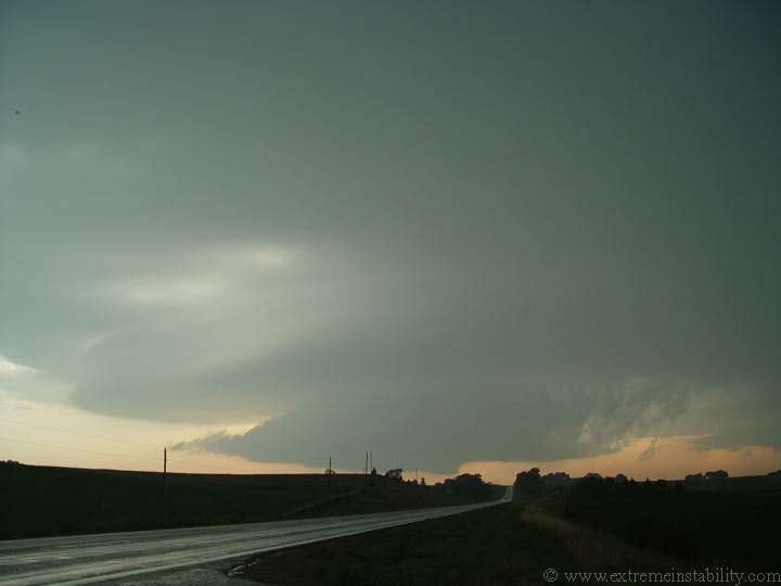
After driving south for a while I find this tornado warned supercell sw of Yankton. Scott was already ahead of me here, as well as Steve Peterson...heck and perhaps every other chaser out there.
It was getting to be time to leave. The low level cloud motions were exciting to watch.
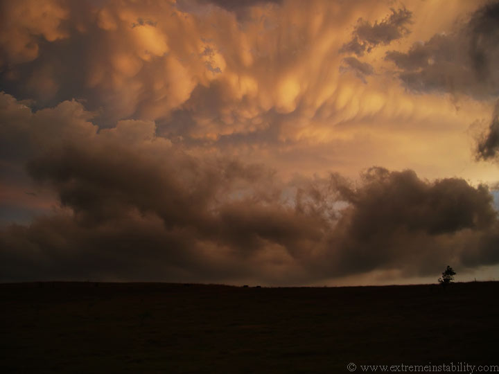
View of sothern portion seeming to take over.
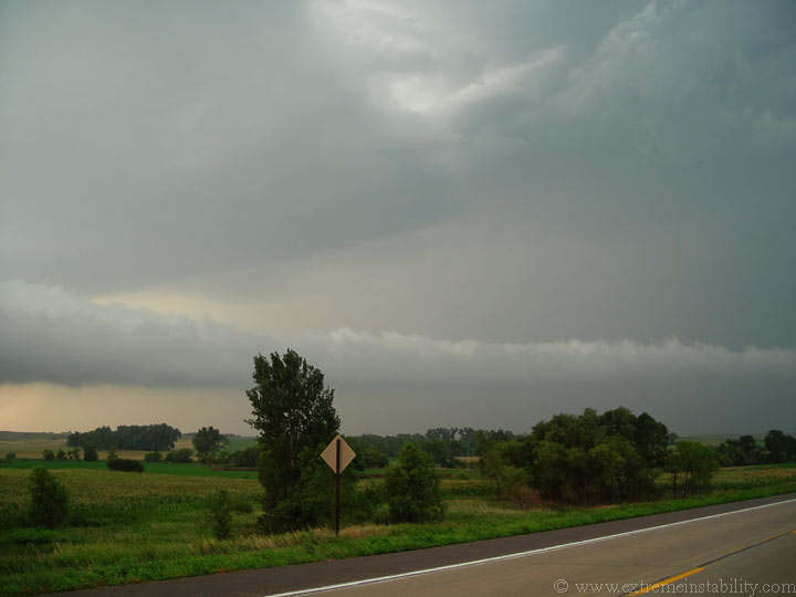
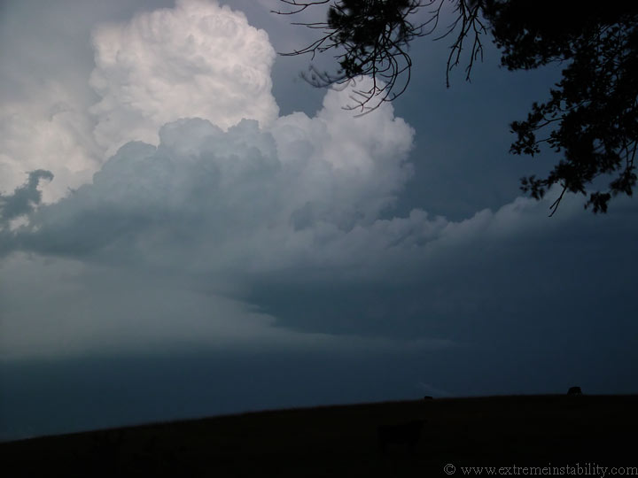
Head back north to highway 12 to go east. Beaver tail flowing into southern portion as northern portion seems to have started to become elevated and cut off.
Here is a good idea how sharp and cold this boundary was. Look how high that base is now, lol. It quickly elevated as it crossed.

Looking south, still heading west.
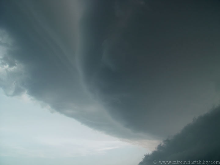
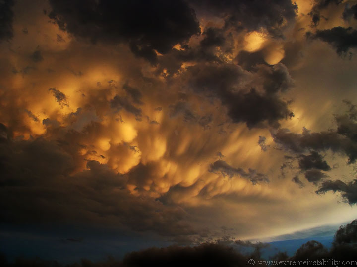
Looking east now. Notice the 2 feeder bands, low one stretching south and the one above it sw. Well actually there are 3 if you look above the second one.
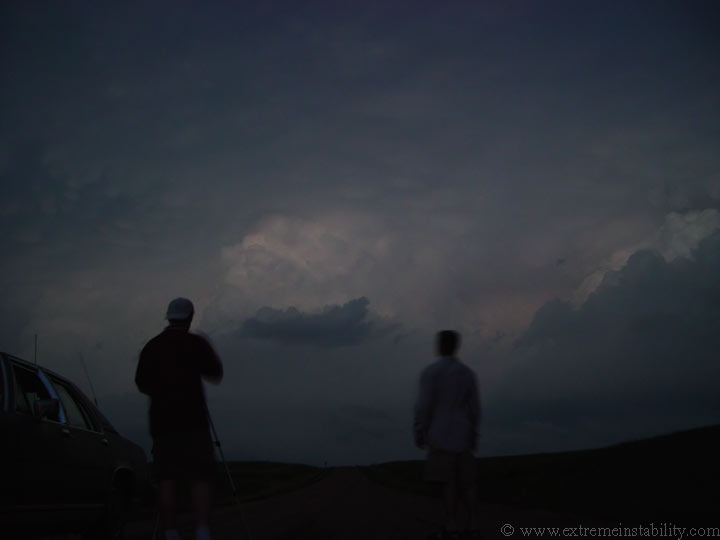
Mike and Scott.


