September 18, 2007 Blair, Nebraska Severe Wind Storm
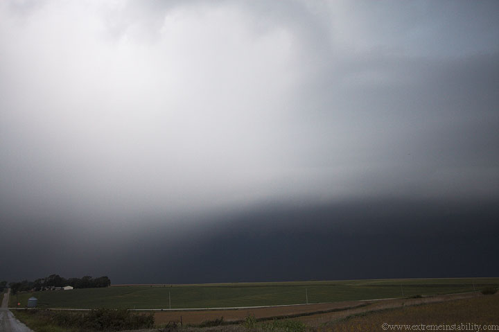
Nothing quite like blowing off a chase day, only to see the above 1 mile from the door of one's apartment. I was working on some things, ignoring the storms moving east, just west of town. I really never blow off anything local. I'll go watch anything if I think it at least has lightning(a very low expecation, but nothing crazy since it's local). Well it was just about in town when I decided I needed a pop and some junk food anyway. So in the end I couldn't blow them off, but man I was close. I walk out the door and see the base. It was linear but not quite a shelf yet. It had the most intense motions I've ever seen in a linear base like that. You could see the wind pushing up against it and having to deflect north and cut around back west(like you'd see with a supercell's rfd cut as a storm goes tornadic). It was just horribly intense and already overhead, as I walk to my car. The storms hadn't looked like much on radar yet and were not severe.
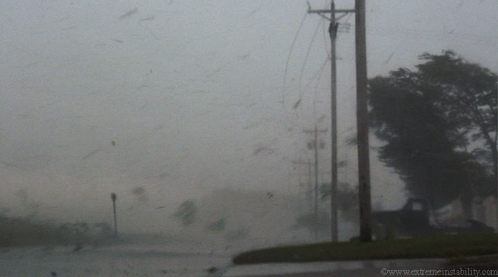
I walked to my car faster, then flew east in town. I pull over here, only a mile from home and the "crap" hits the fan in a hurry, shreading the trees half a block to my south. You can see the powerlines bowing east here. I'm surprised a pole wasn't snapped as hard as they rocked for that brief moment. If you watch the youtube video below, crank the volume so it is loud. I had a bigger sized short clip of this online, but I'm affraid of ending up with too many downloads of anything large like that. So youtube will have to do. It doesn't do it justice that small and compressed.
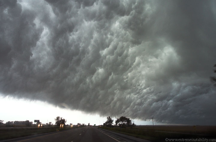
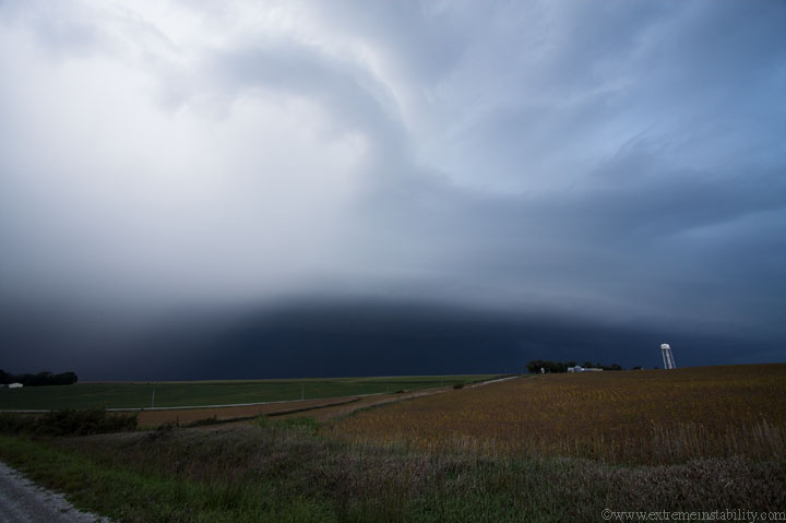
I quickly left and flew east with it. Now I'd call it a shelf, lol. The above is what many refer to as a "whale's mouth". Even now it had some very cool motions in a northward direction. Once you see the above scene you can pretty much count on a weakening trend from there on out.
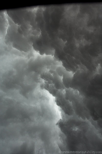
Straight up out my window as I go east on I-80 in western IA.
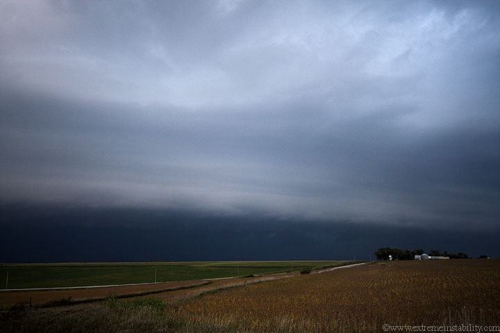
Shelf now somewhere east along I80. It was still producing damage in an ene line from where it started in Blair.
The line had little cells popping up right ahead of it. The haze on the left here is one of them.
I let the storm overtake me at the Atlantic Iowa exit, but it wasn't much by then, maybe 40mph winds.


