July 1, 2015 Taylor Nebraska Supercell
I didn't realize I was chasing this day until around 2pm. Thought there's decent nw mid-levels and nice wnw upper levels over some cape out west. Didn't care for the easterly surface winds in such a setup, but thought maybe they'd be weak enough to not matter. Then just let the steering winds push it into the air that is south of it and at least not feed it its own rain-cooled air from the east. But she was eating too much of her own air.
Anyway, the HRRR model insisted something would fire to the east of the cold front/outflow boundary intersection northwest of Norfolk. It also fired the cold front out west, which was anything but cold on the other side...good. But it insisted on those rapidly dying and the thing east somewhere across the weak outflow boundary continuing south for hours. I bought into that idea and left. As the day progressed while driving northwest I started to agree more with reality land. At Neligh I said screw the model, I'm going west to the boundary intersection. And the model had the boundaries right, it wasn't that. It just had the storm idea wrong. Because this one well west at the intersection would act exactly like the model wanted a storm to further east.
So I end up at Bassett. Weird how at 1pm you can still have zero thoughts on chasing and before 5 you find yourself way out north of Bassett. A pair of storms fired, with the southern one not doing much and dying a few times. The northern one would go from SD all the way to I80. It tried to get interesting near and through Bassett but no, the southern one, just se of it, flared up. It died again but this storm would now have to deal with eating the air off that one. It struggled for a while. It was always just east of highway 83, well along it and east. So you had the crappy back end view. But at least it was close enough to a highway, which are rare there. Too much sand potential using the very few roads out there to try east. At least things you'd commit to and plan to continue to some location on. I'd use them to go east just a bit on for somewhat of a better angle, but it wasn't begging in that stretch anyway.
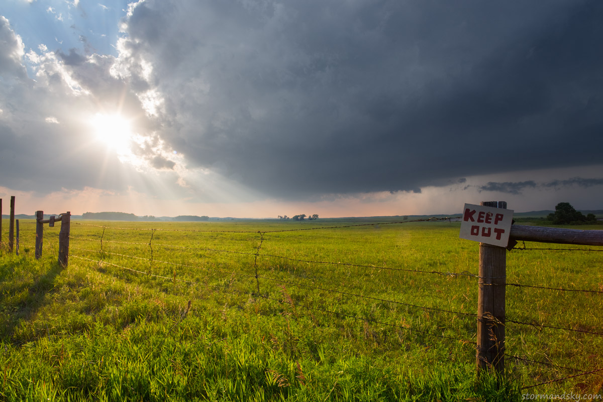
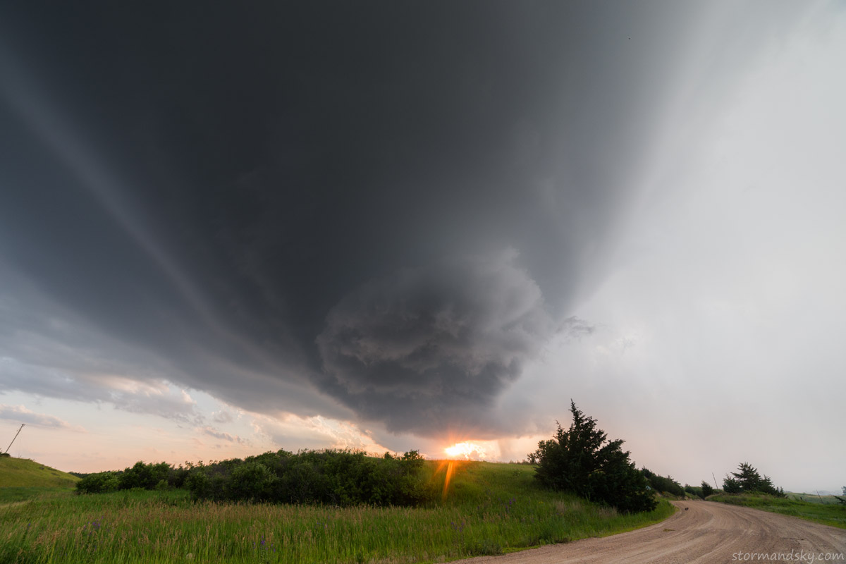
The first image above is of the storm at the northwest end of Calamus Reservoir. I about left it here as I thought it was done for. Waited and let it move over. As it did so it seemed to try and separate from the linear forcing attached to its east side. It really needed to go sw to keep getting good air and stop ingesting its own air on the easterlies. It was trying now and eventually does curve sw.
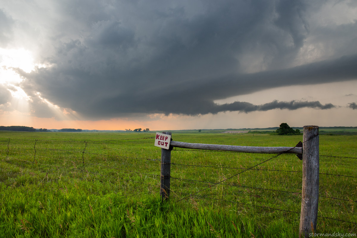
Still thinking the storm is going to die here. Just about to leave and head southeast to Burwell. Then as it passed over and I could see the curling back side of the updraft. It talked me into going south to Taylor with it.
Just the fact it was trying to separate made this look good. As you knew if so it could soon get a lot better looking.
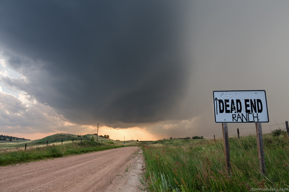
Now west of Taylor. So few and such bad pull off viewing options in that little room west of town. And this storm was not crawling south either. It was actually moving pretty rapidly. Thought I had more time as I headed west to get closer.
Ultrawide 14mm stretching things a bit much. Think it had a 3 inch hail marker on radar now. Don't think there was anything close to that, but as I drove south from here there was that very strong tree odor that comes along with either tornadoes or hail.
I was in and behind it again as I went back to Taylor and drove south. I've never driven on a highway quite that full of water. It was before the construction zone too, which was a mess as I drove home later. One brief hydroplane bout and I was slowing down. 40 seemed to be the max. But as I'm going up the one hill I notice I am hearing my engine rev up higher. I glance at the speedometer and it is in the 60s. But I for sure wasn't going that fast. The front tires just got up on the water again. Can't say I've ever had that happen in a front wheel drive car. Granted I chased in a rear wheel drive Mustang for 10 years. I knew the closer I got to the front of the core, the better the road would get. But either the storm was really raining that efficiently or the road was also cupped a bit and holding the water more than most. It was rather awful till I cleared it.
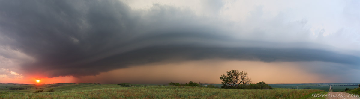
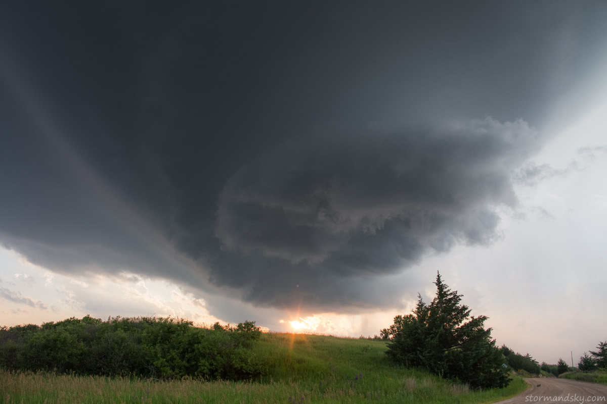
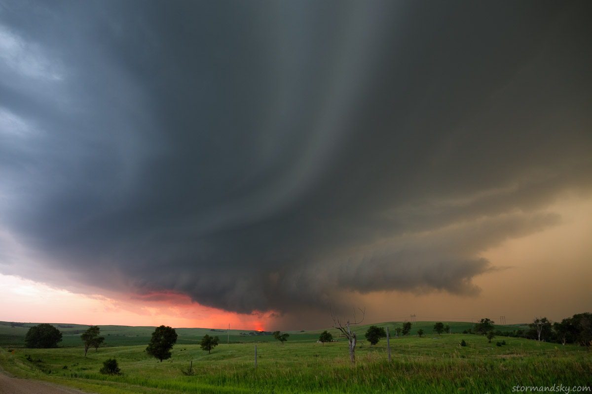
A super wide pano now south of Sargent NE. The road is going east, the sun setting northwest. It is hard for a storm to rotate well in the low levels when it is attached to so much cold forcing on its east side like this. This view makes the storm look more tiny than it is over there.
Standing on my car to get a good view over the stuff on the side of the road. Until some bolts started zapping down nearby.
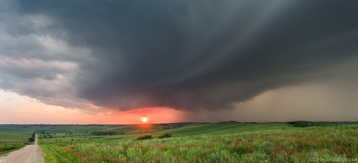
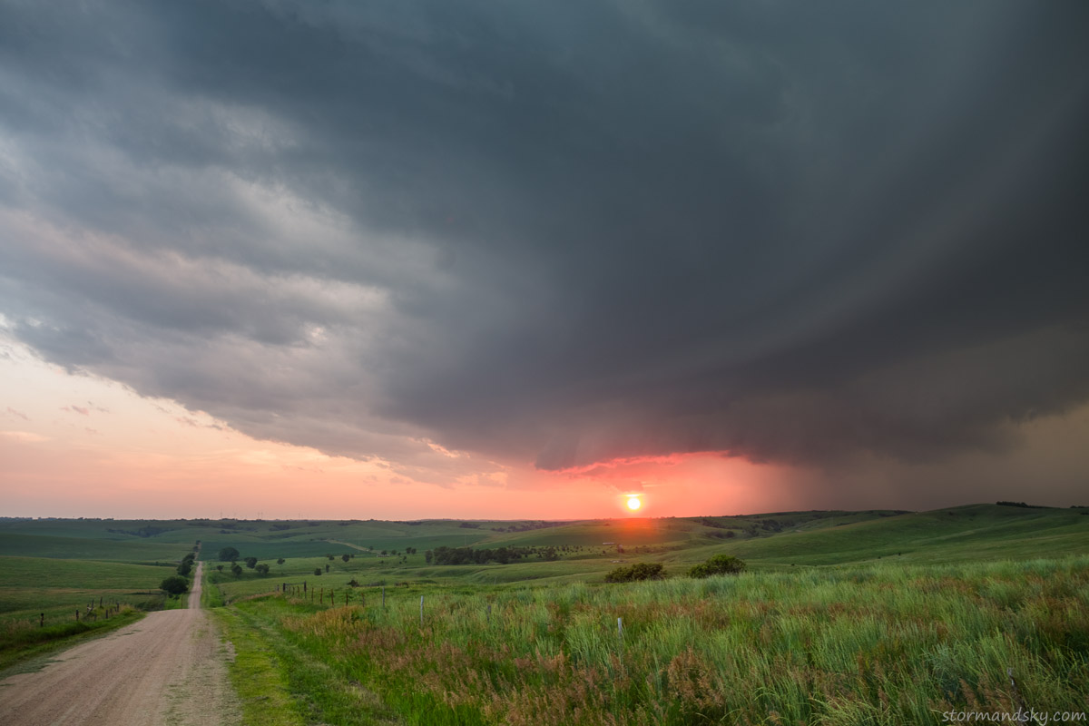
Another little pano, just 2 24mm frames.
I raced down this road to try and find a place to have the car face north-south so I could window clamp the camera and try to get some sunset bolts. Dead end and power poles ruined that idea. Raced back up it part way and quickly tried what I could. Same moment it is ready it is already raining again. It was frustrating that way. Least it was a decent storm. The chase was ending much further from home than I had in mind when leaving. Drive back wasn't bad minus 5 or 6 deer fakes. Those are not good on gas mileage or brakes. All the deer actually make the drives easier as you really can't be too lazy mentally and get sleepy. High beams on, looking for eyes. Which gets complicated by all the bug splatters in the moonlight. Lots of false alarms. Oh and those damn road reflectors too far over in the grass.


