December 12, 2007 Mound City Missouri Ice Storm Day 3
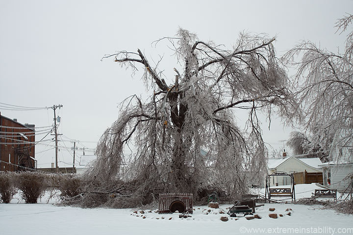
Before leaving the motel I took another photo of the tree across the street. I should have done a better before and after thing with it. You can go back to day one of this to see how it looked to start.
Also before leaving, I loaded google earth to see the exact terrain in the area. I wondered where exactly the hills were. The plan was to drive into se NE or maybe ne KS. While looking at google earth I noticed Squaw Creek National Wildlife Refuge only 5 miles away. I then remembered my sister had been to one in this area and mentioned a cool trail up to the top of the hills. So I called her to see if it was this one, and sure enough it was. So that was now my plan, go there and play around.
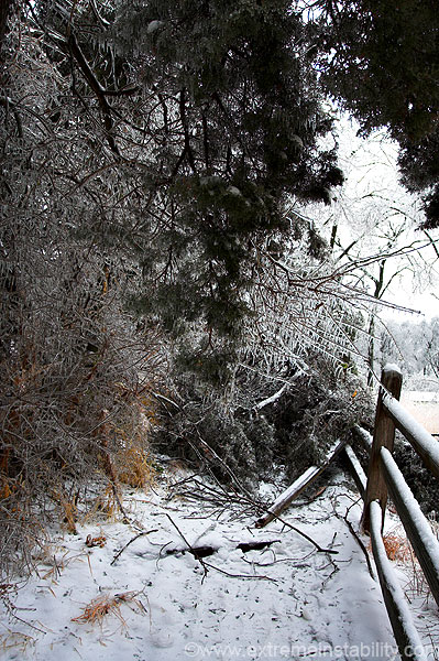
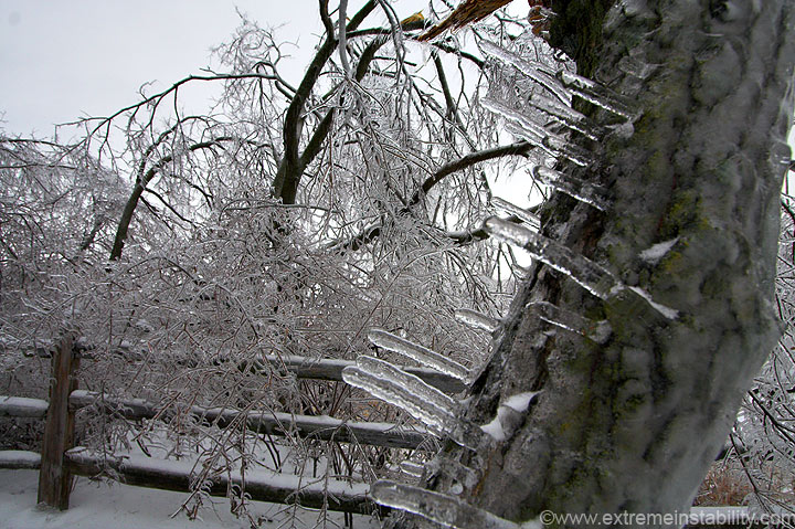
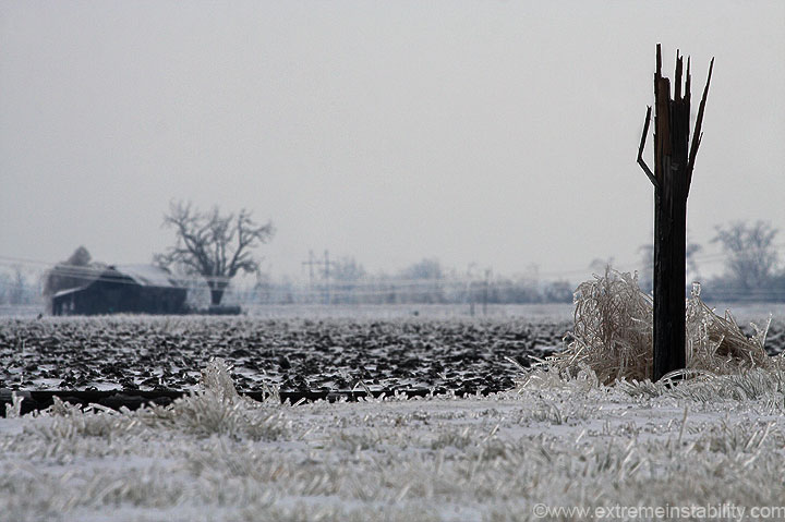
I'm now at the refuge. All I could find was this portion of the trail going up. It was a pain in the butt though, since trees were down on it. You can see the one above broke the fence.
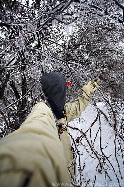
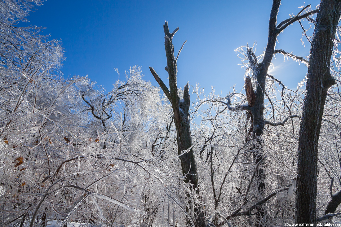
I got through some trees and into the open, but was having a hard time committing to the trip, thanks to the numerous falling branches at this time, plus all the large trees. I really didn't care to be smacked by one, or pinned by a larger one, left to die in the cold in there. So I walked back out. Above I'm pushing through some tree branches. A forest just isn't the brightest idea right after an ice storm....but....I wasn't giving up yet, just on this particular route.
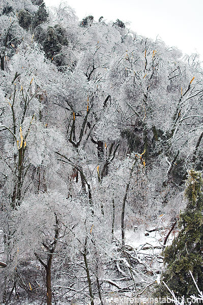
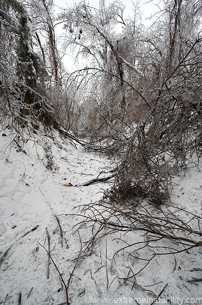
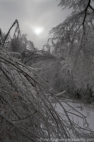
Here's a shot of the woods/hill I was wanting to get through. It was a completely trashed mess, and was continuing to fall apart.
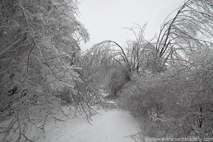
Well I really wanted to get to the top of this hill, so I had to locate the other end of the trail. I found it. It was flat for a long ways, through a maze of broken trees.
Here's the flat portion of the trail. This is a gif alternating between two still photographs. This is how common it was for branches to be breaking. I heard a crack and pointed the cam and snapped away as the branch falls. If you look dead center of the image you can see it fall. The larger, very loud sounding ones, were quite intimidating. I wasn't seeing too many of them, but was walking through trees that would readily end my life if they were to do the same. I tried to look ahead and plan my route the best I could.
After maybe a 1/4 mile of flatness the trail began to go up. At least as it did so, it was in this small ravine, that way any large trees if they were to fall would hopefully lay across it.
The trail turned into this very steep set of stairs. I'm evidently very out of shape.
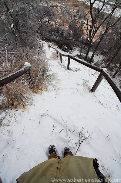
These things appeared to be nearly a 45 degree angle.
Johnny 5 was up here too!
http://www.gotwavs.com/0058536645/WAVS/Movies/Short_Circuit/alive.wav
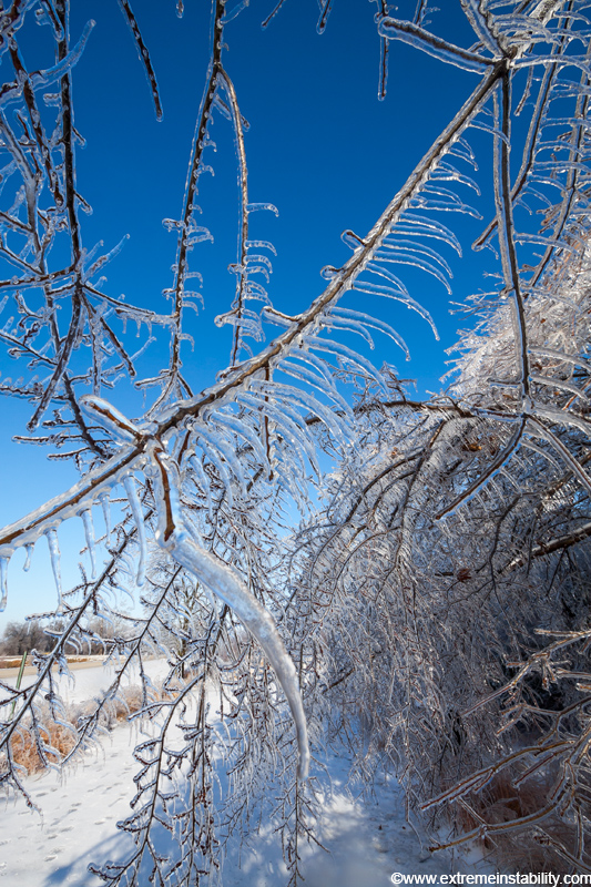
Back down on the flat ground again.
As I came back down, the sun tried to come out. It made for a cool scene.
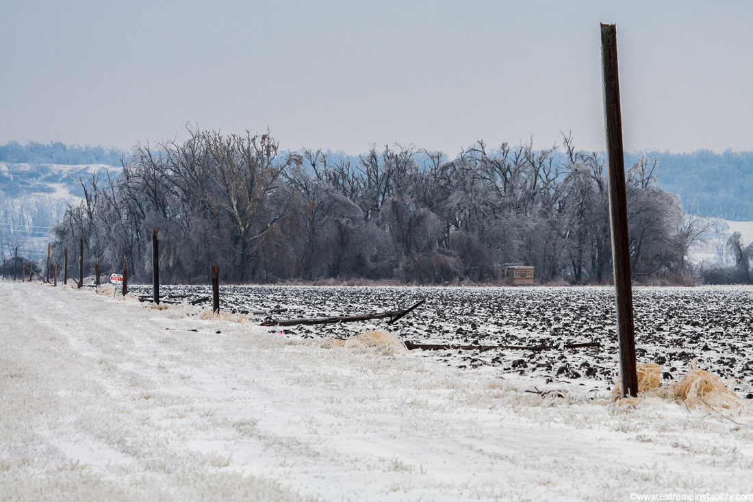
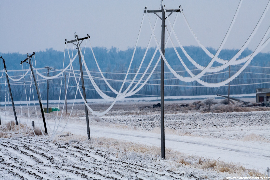
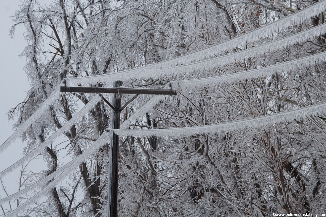
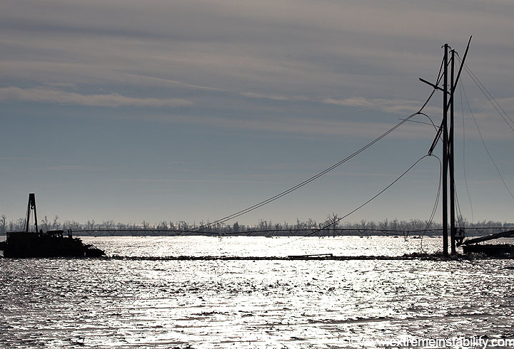
I left the refuge and tried to head into se NE. I found several snapped power poles on the way.
I think maybe a tree fell down there and caused this domino effect. If so, that would have been a pretty cool sight to see.
Before I could cross the river into Rulo Nebraska I hit a road closed sign....ugg. The above was taken while driving around a lake in the area.
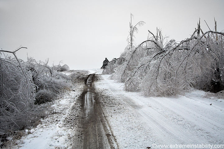
Realizing I didn't have enough daylight to drive up to Rockport to cross, and back south, I tried a frozen "gravel" road. I thought maybe I could get on the other side of whatever was closed. This road was a little spooky at times. I kept thinking I'd get stuck or blocked by trees.
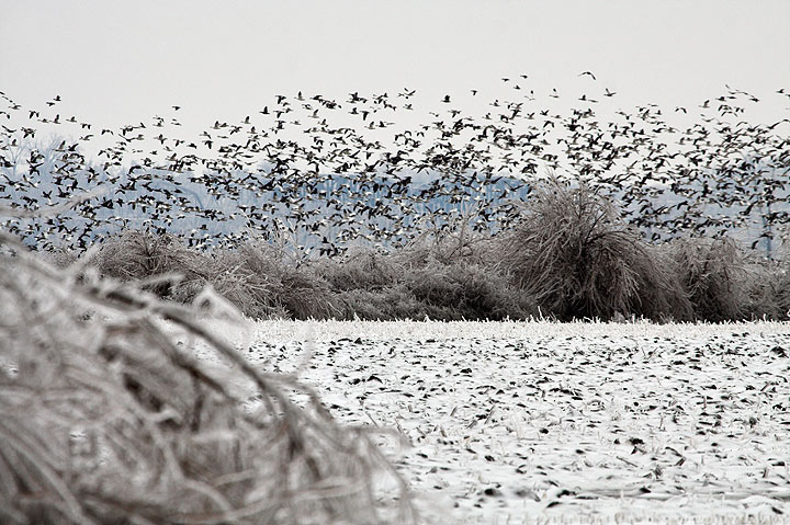
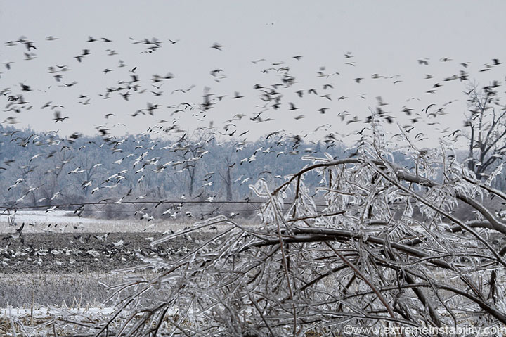
Geese! Lots of them. Wonder how many were here, 50,000+? I have no idea. Had I not had to take this little detour I'd never have known these were around.
I put an end to this trip around 5pm and started the drive back home. On the way I saw an amazing sight with a sliver crescent moon next to the steam plumes of the power plant south of Council Bluffs. I wasn't sure the moon was even out. I saw the pairing at the same time as I looked back at the steam, from I29. I was like, dang that looks sweet. But I could see no decent place to shoot it from. I hoped maybe I could get the Omaha skyline to line up with the moon, from the Casinos, but it wasn't to be. Then I saw the north Omaha power plant, and knew I could make it work with a road that runs along and south of the interstate heading into north O. I spent about 2 hours there shooting the moon with that. I'll make an entirely separate page for that later.
December 13, 2007 Mound City Missouri Ice Storm Day 4
I was pretty tired after the last few days, and did not want to drive back down there. I woke at 10 a.m. and the wall to wall sunshine got the best of me. I had to drive back to see things lit up in the sun now. Problem was, temps were going to rise above 32. This combined with sunshine would promote rather fast melting. I flew south.
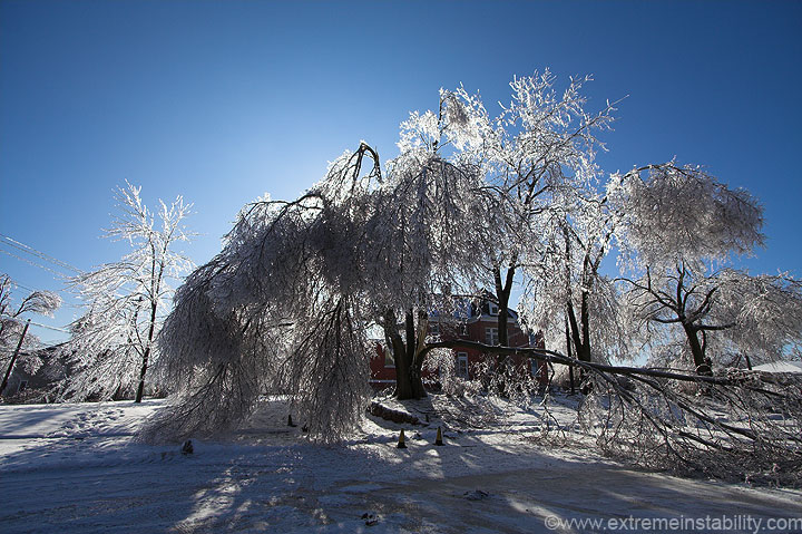
The above was taken in Mound City.
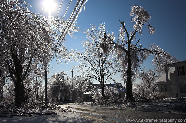
Mound City was melting rapidly as I got there. I decided to quickly leave and hit the refuge again.
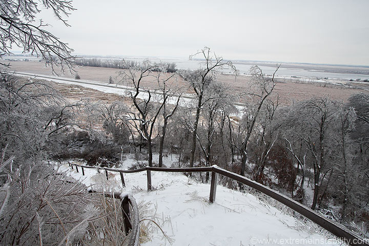
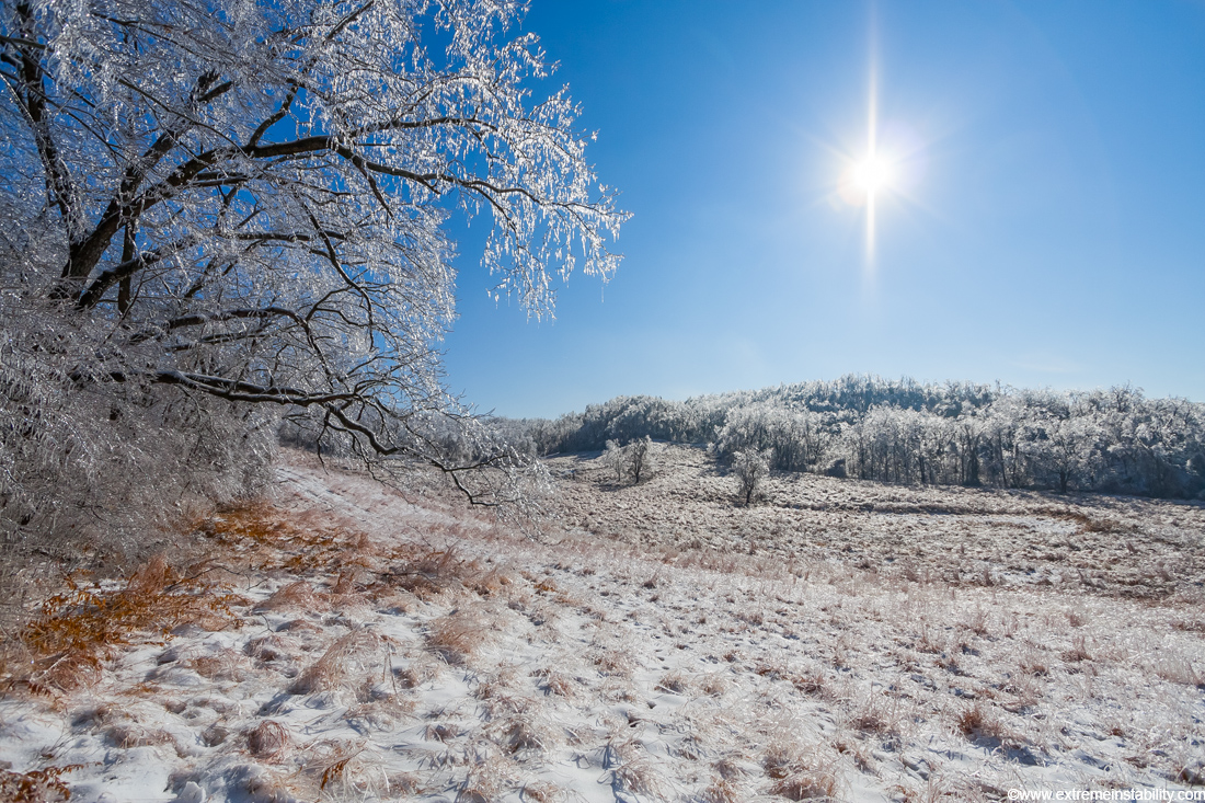
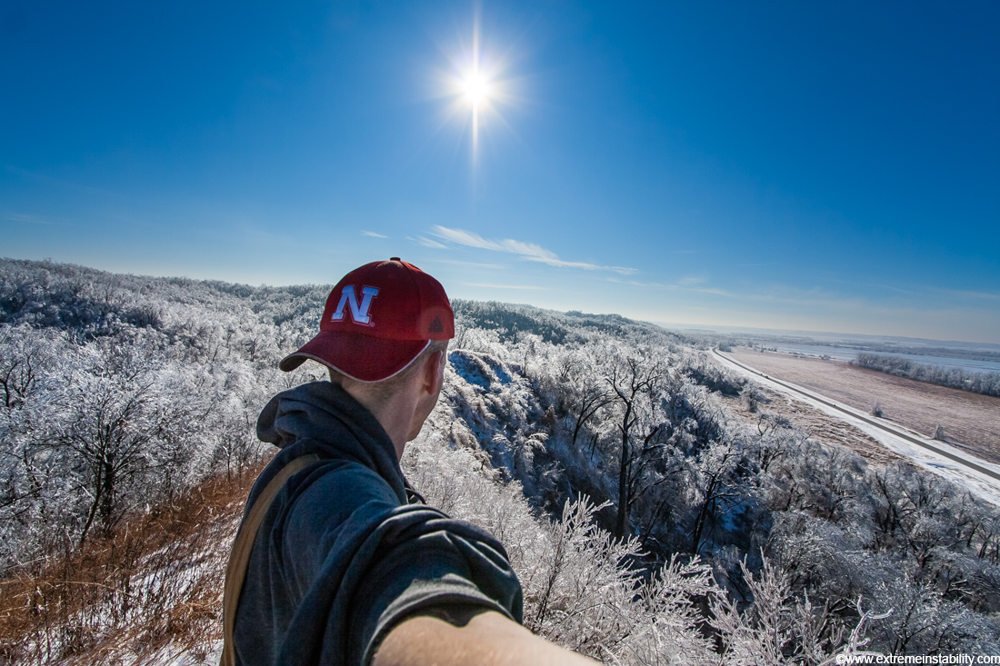
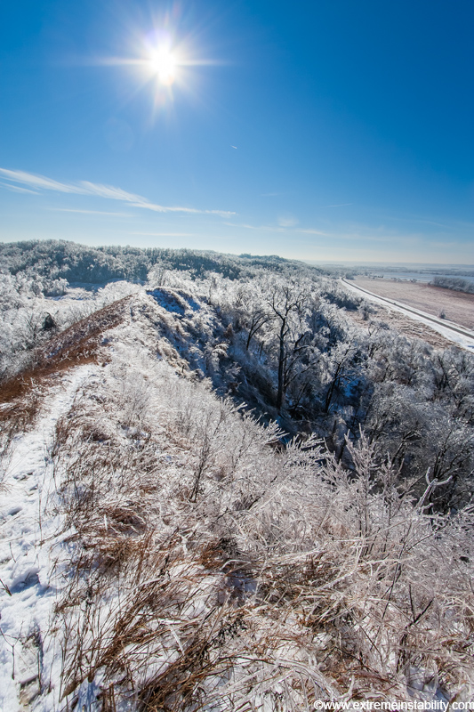
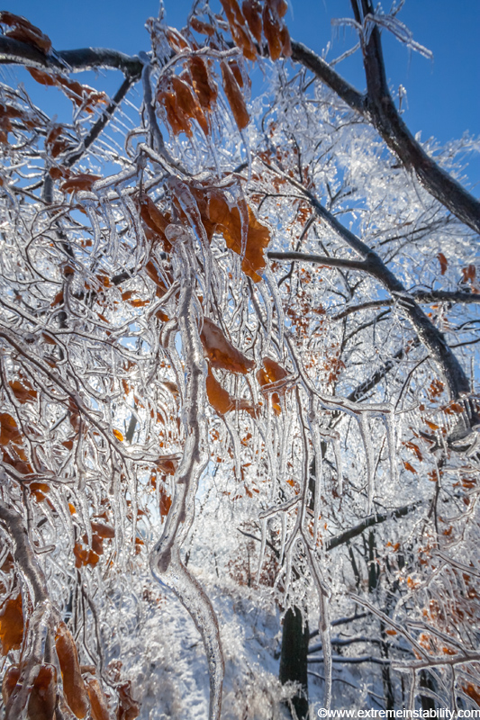
The hills in the area were amazing to see, glistening in the sun. I'm back on the trail in the above image.
The trail and stairs are off to the left of this shot.
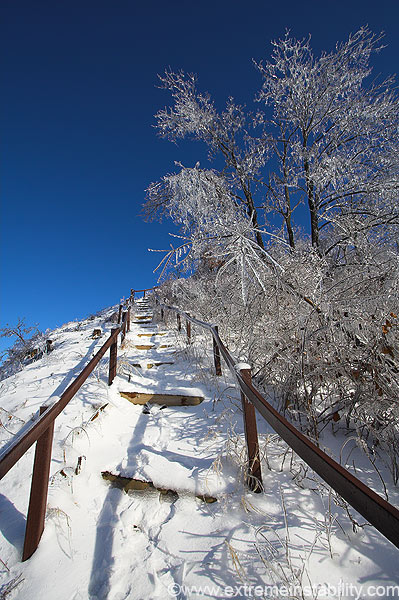
The thought that came to mind as I looked up these stairs was, "stairway to heaven". Down here in the trees was like hell, danger all around with falling trees(lots of it still ongoing!). Yet up there, above it all, that would change. This hell would look amazing from up there.
I was actually quite warm and out of breath by the time I reached this point. The hurry I was already in was increased when I realized my video camera had fallen out of my pocket somewhere. Doh. I found it back down the trail a ways, where I had to climb over a branch. Haven't tried it yet, but I assume it is ok.
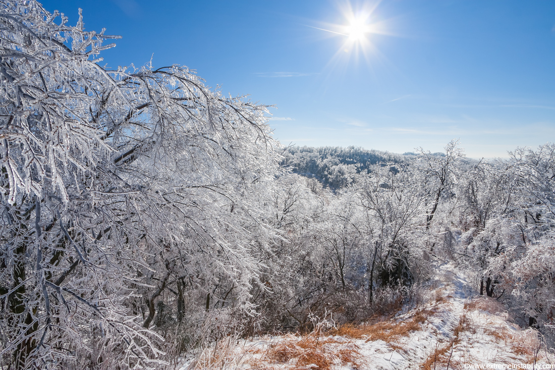
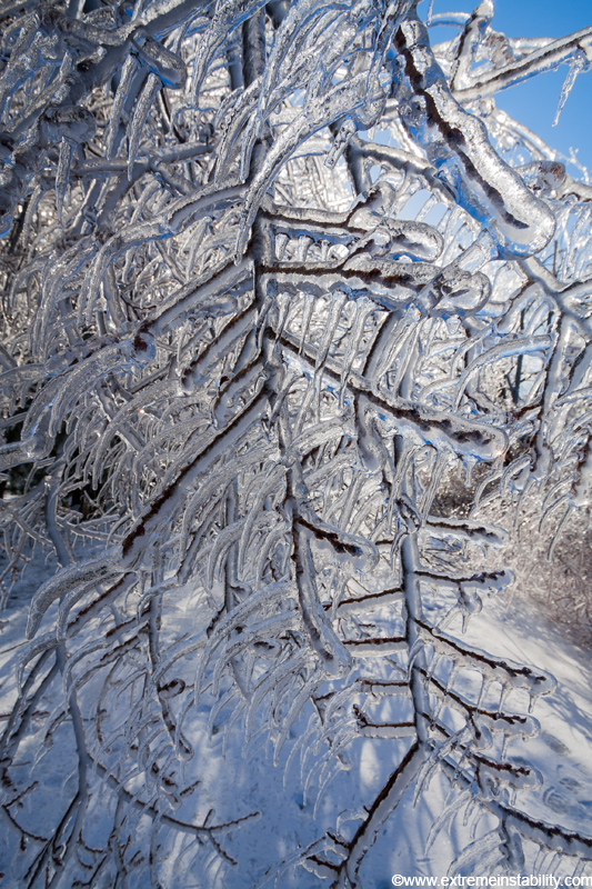
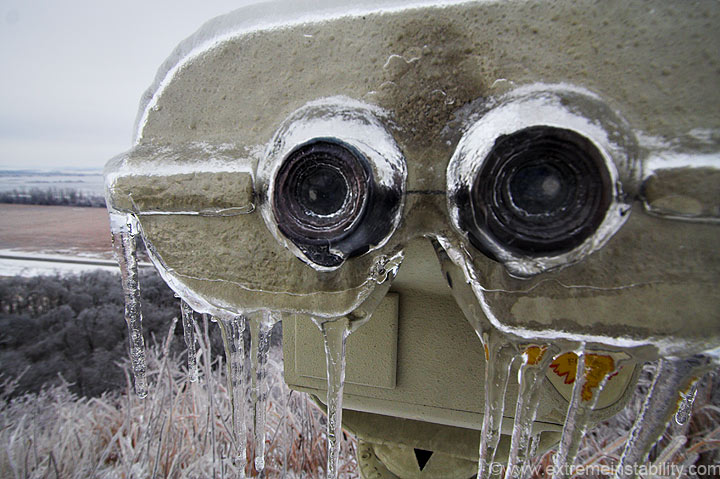
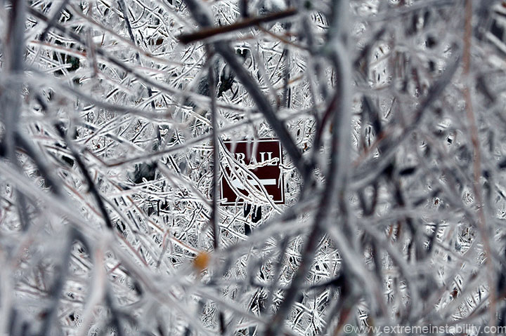
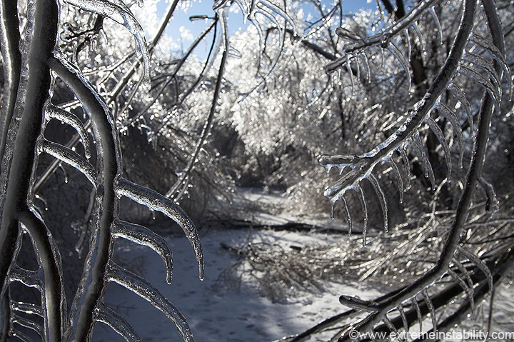
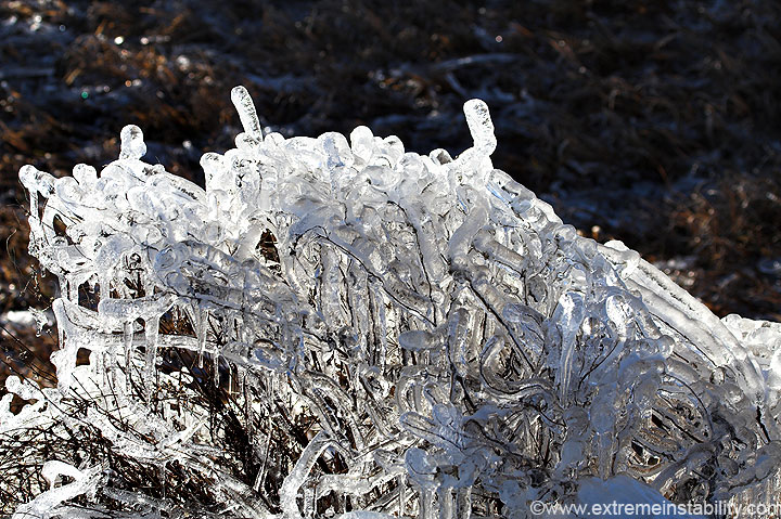
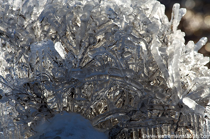
As great as some of the larger views were, many of the smaller ones were almost better. I wish I had spent more time looking for them.
I'm now way down on the trail, nearing the parking lot. It was time to move on. I head west to see if I could get into se NE today.
This was where they had the road closed the day before, just east of Rulo Nebraska. It was now open.
As I drove through se NE things looked mostly the same everywhere. The only exception came near Dawson. There things were a bit thicker. Evidently this was the nw edge of the heavier precip, back in the coldest air within that band.
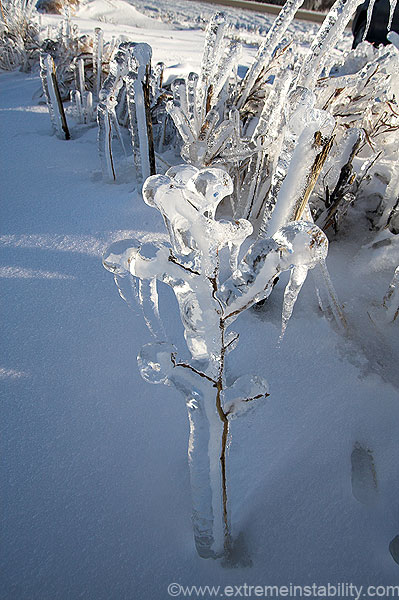
I'm not sure what this was. Some kind of taller plant and tall grass.
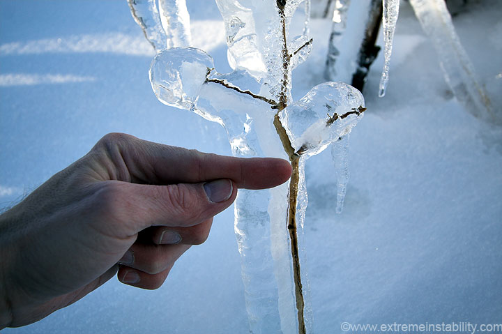
This is how much of a weather weenie I really am not. I don't even bother to bring a ruler. I was wondering enough though that I had to take a picture I could later measure. The distance from my finger tip to where my thumb has the ice marked is 1.25 inches. There'd been some pretty good melting going on throughout the day. This was taken in the late afternoon around 4. So there was at least an inch and a quarter on things here. Before melting it was probably closer to 1.5 inches. Not quite as thick as last year's event, but it tried.
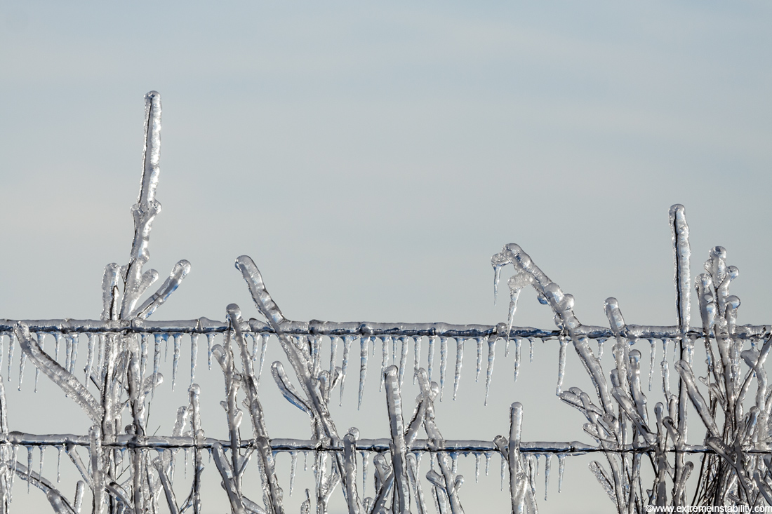
The grass and plant in the above image show pretty well how thick it was here......THICK.
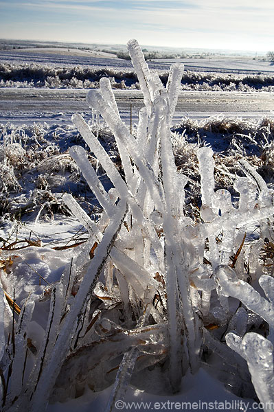
Much like last year.....freaky tall grass here.
It sucks I was extremely tired by this point, after just finding the thickest area. I simply wanted to start the drive back home and go to sleep. The no sleep the first night, plus all the walking and driving around had just sort of built up I guess. Hell I'm still tired, several days after it started(putting all this on here has been a hair time consuming on its own).
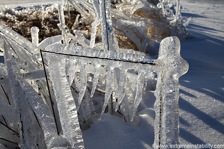
This broken piece of grass was interesting. Evidently the top portion broke, fell over and caused another lower spot to break. So you can see how the vertical objects have no icicles, while the horizontal piece does. Ok, not that interesting.
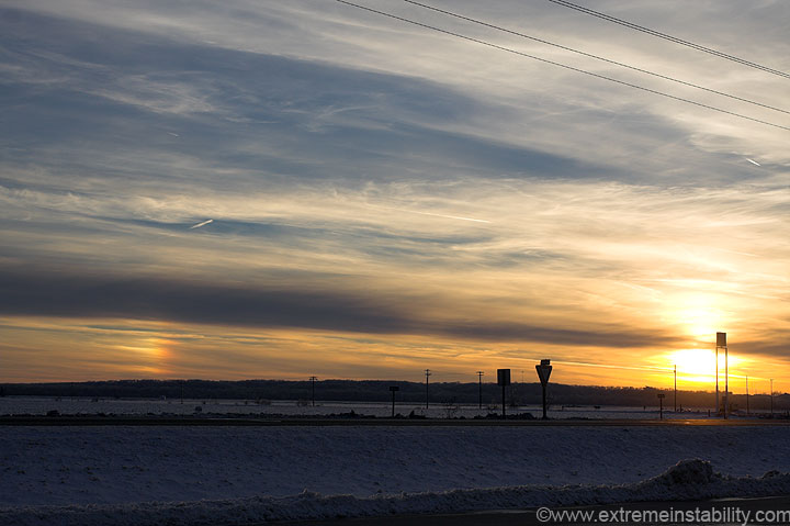
Saw this nice sundog as I moved through the Wendy's drive through. Nice ending to a long, but enjoyable/memorable storm.


