April 6, 2006 Hanover KS, Tornado
I left Blair around 11 and wound up meeting J.B. and Randy in Beatrice(on accident). We looked at data there and it was pretty obvious we needed to be down by Salina to Concordia area(there was an enhanced area of cumulus showing up there).
On the way to Concordia we noticed a cell went up near Wichita KS and was flying north. We kept on heading west until we reached 81 to go south. By the time we get near Belleville there was an arc of storms going nw. We mess around with the middle one since we had a good e-w highway and nothing was exactly dominant yet(though the Salina storm seemed it wanted to and would be in a better area....clean inflow air). We decide to blow off the stuff west of Belleville and try for the Salina storm. Not long after this choice a tornado warning came out on it. Rather than dropping south to Concordia to go east we just go east at Belleville. We decided it'd be a wiser route and we wouldn't have to mess with city traffic.
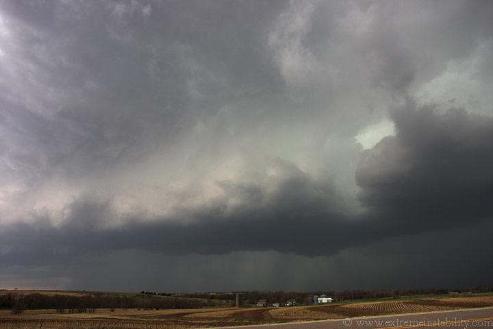
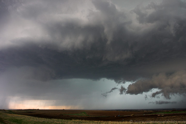
We cut south in front of it at Barnes. We got to sit there for a few minutes as it approached. It was not very good looking as it came out of the rain. The first image above here is looking southwest of Barnes. It was just now starting to crank. The inflow winds became rather incredible. As it gets to us we race back north up 148. This image here is looking west as we go north. It was pretty obvious the core was tracking just west of us. The updraft base became more and more sculpted with a nice vault area. It wasn't looking like it would become tornadic but just one big hailer.
We gain some ground on it going due north and pull over where 148 meets highway 36 south of Hanover. Within a minute of doing so some quarter sized stones fall on us. Randy and J.B. took off right away and went east. I had the itch to play in the hail so I just sat there. There were reports of tennis ball sized hail with it but I didn't care....I was game. My goal is to capture the storm, whatever comes with it.
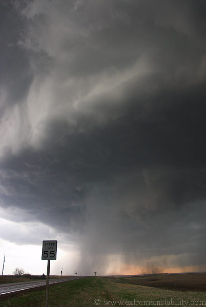
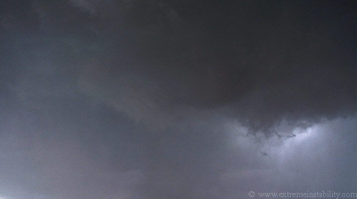
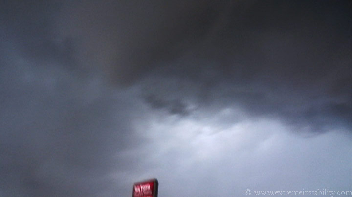
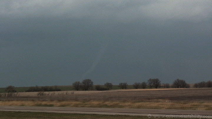
This is the same spot looking west southwest. Look how linear and cold that looks over there. This is not screaming tornado at all.
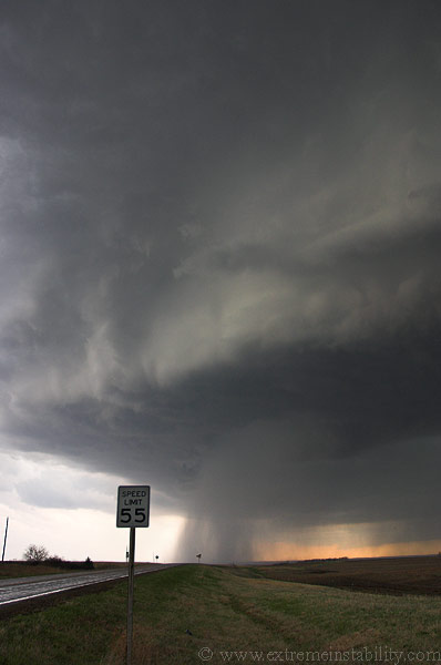
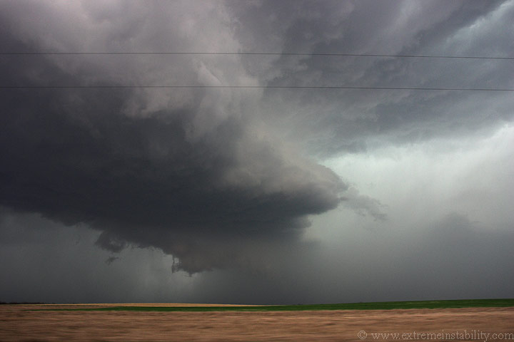
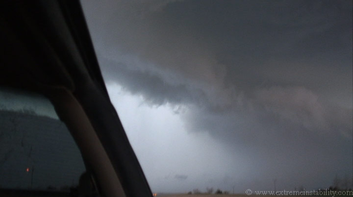
Well, this is looking back to the south. Keep in mind here that this storm was moving north or north-northeast at 40-50 mph. If you look to the right of that sign you can see a precip curtain and above it you can see it cutting a notch into the base. Because the storm was so cold and rather linear I was not thinking this would tornado. I figured it would likely kick up a bit of dirt with the rfd winds.
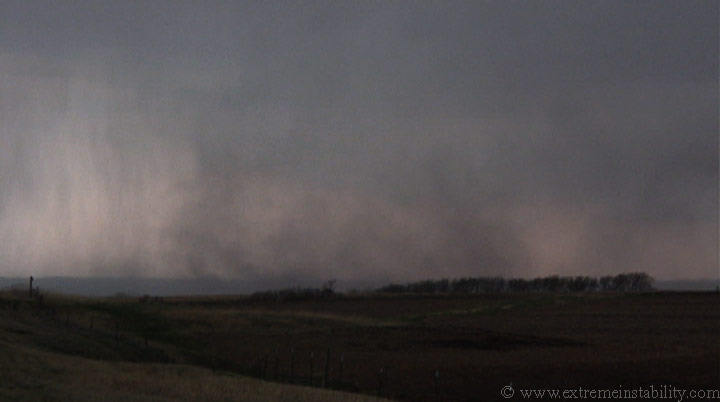
A shot a bit west of the above one. You can still see that cut to the far left.
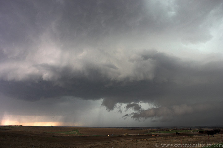
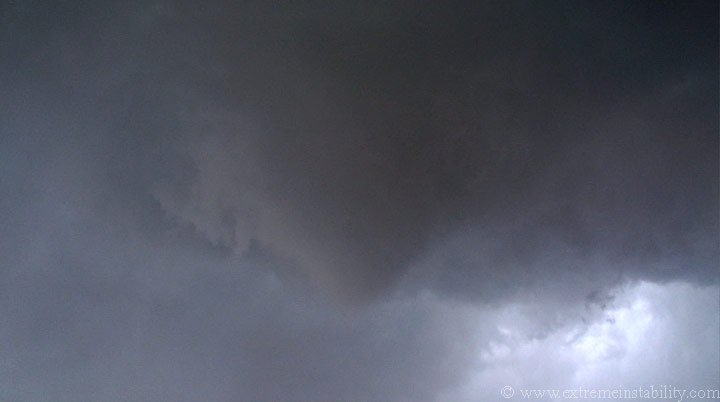
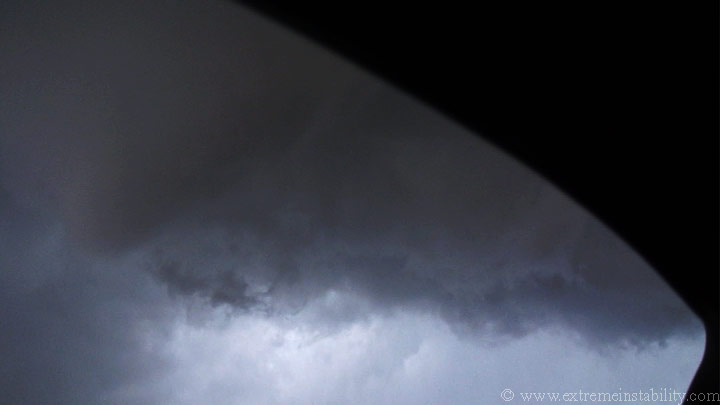
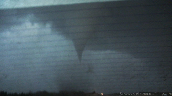
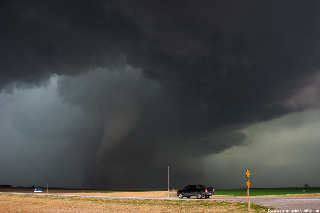
Now the notch is getting larger and more intense. It is also strirring up some dirt at the surface. To the far right you can already make out the funnel forming in there.
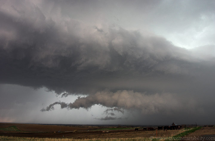
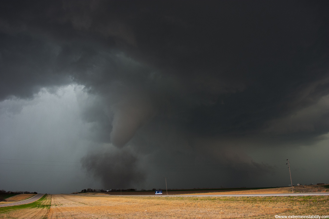
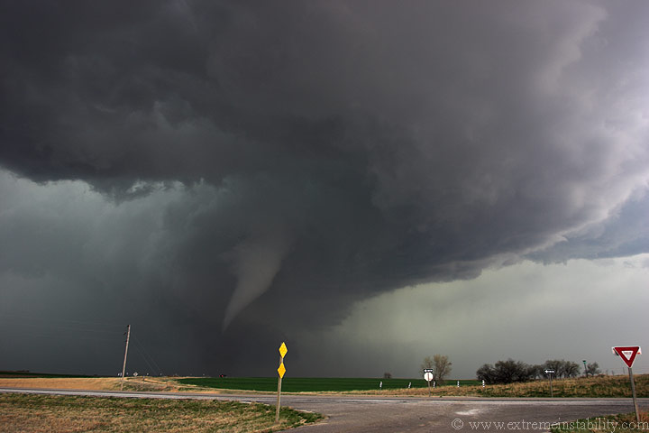
It is now essentially a tornado. There is a wide vortex at the ground now. For whatever reason I was still not thinking much would become of this. It wasn't too far away now and coming fast.
After watching the speed pickup at the base I decided, ok, maybe it's going to form a full fledge tornado.
I get antsy and back out onto the highway ready to get on 36 and go east.
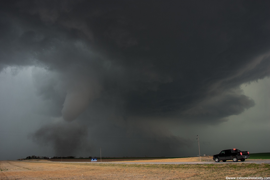
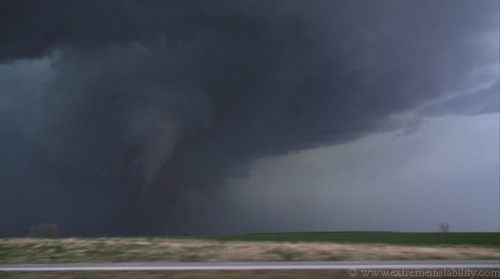
Well, I really wanted to film it without driving and pull back into my spot. The vortex was getting really close as the dust at the surface trailed behind it a tad. I wasn't there very long before I back my butt back out onto the highway and fly east.
It's getting more intense now as I turn to go east.
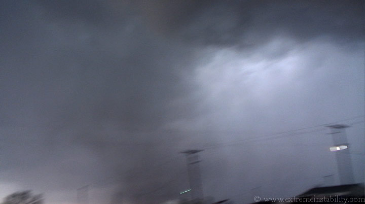
Since I'm going east I can't see up when looking to the south. All I can see is stuff closer to ground level. I hold the cam over to the window and drive and this is what was going on. I clearly remember looking south and seeing the rain curtains around this flying at me. The gas pedal was firmly down as I wasn't sure now where the hell that vortex was.
That is the top part of my door with the vortex now having dirt up to it.
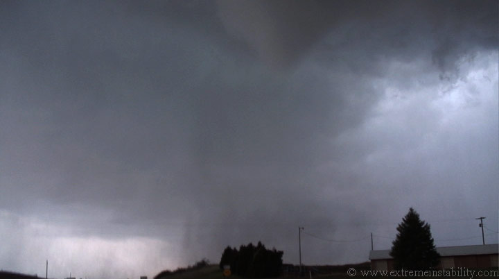
Tornado as I now start to gain some safety.
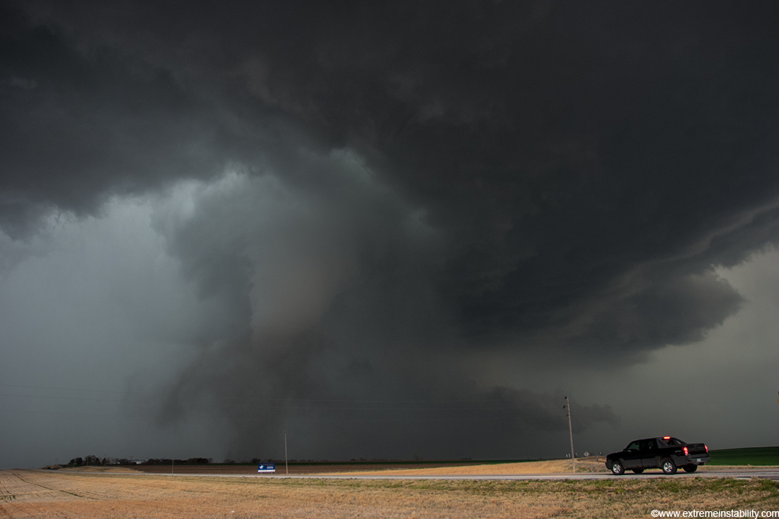
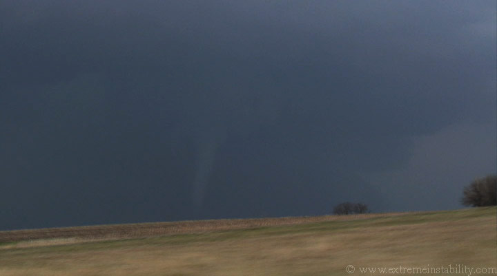
During my drive east a couple miles I can't see what the hell is going on with that vortex. This is looking west behind me. Look how long and linear the base looks nw of the tornado.
Finally I get a glimpse of it out my back window.
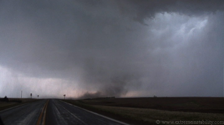
I pull over after a couple miles going east and shoot the next few stills looking back west at it. It was really an amazing site.
There was another tornado warned storm coming up from the south at this time. I decide not to use the gravel roads to go north or the further east option and opt to just go east for the next storm. Right here that tornado looked like it was almost done.
Then it grew back a bit and continued lifting north.
I'm not sure how long it was on the ground but 15 minutes is possible.
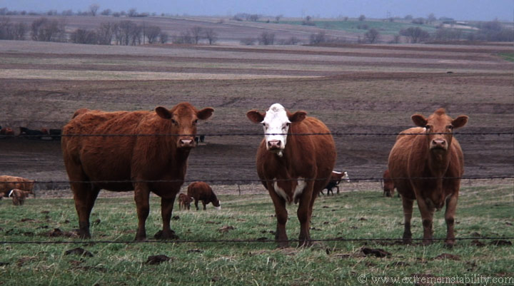
My southern storm wasn't doing as well so I found a road to stop for a bit and see if anything else was worth chasing. The cows were rather interested in what I had for them. Several came over towards where I parked. I tried to tell them about the tornadoes but I wasn't getting much in return.
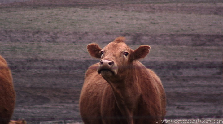
This one seemed to understand. Congrats to the numerous chasers who bagged today. I'm not sure how I missed the crowd that was apparently out there.


